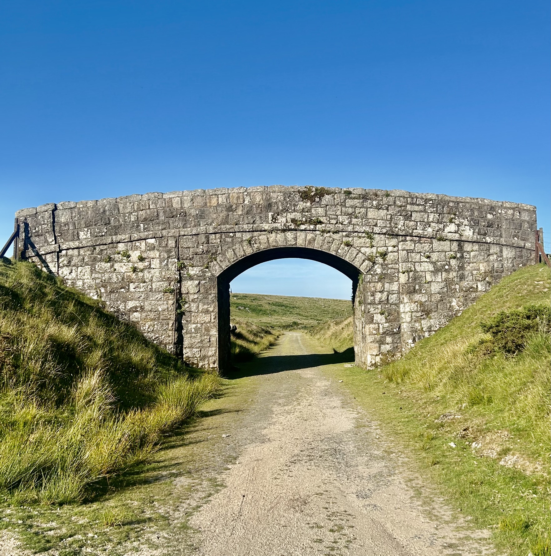
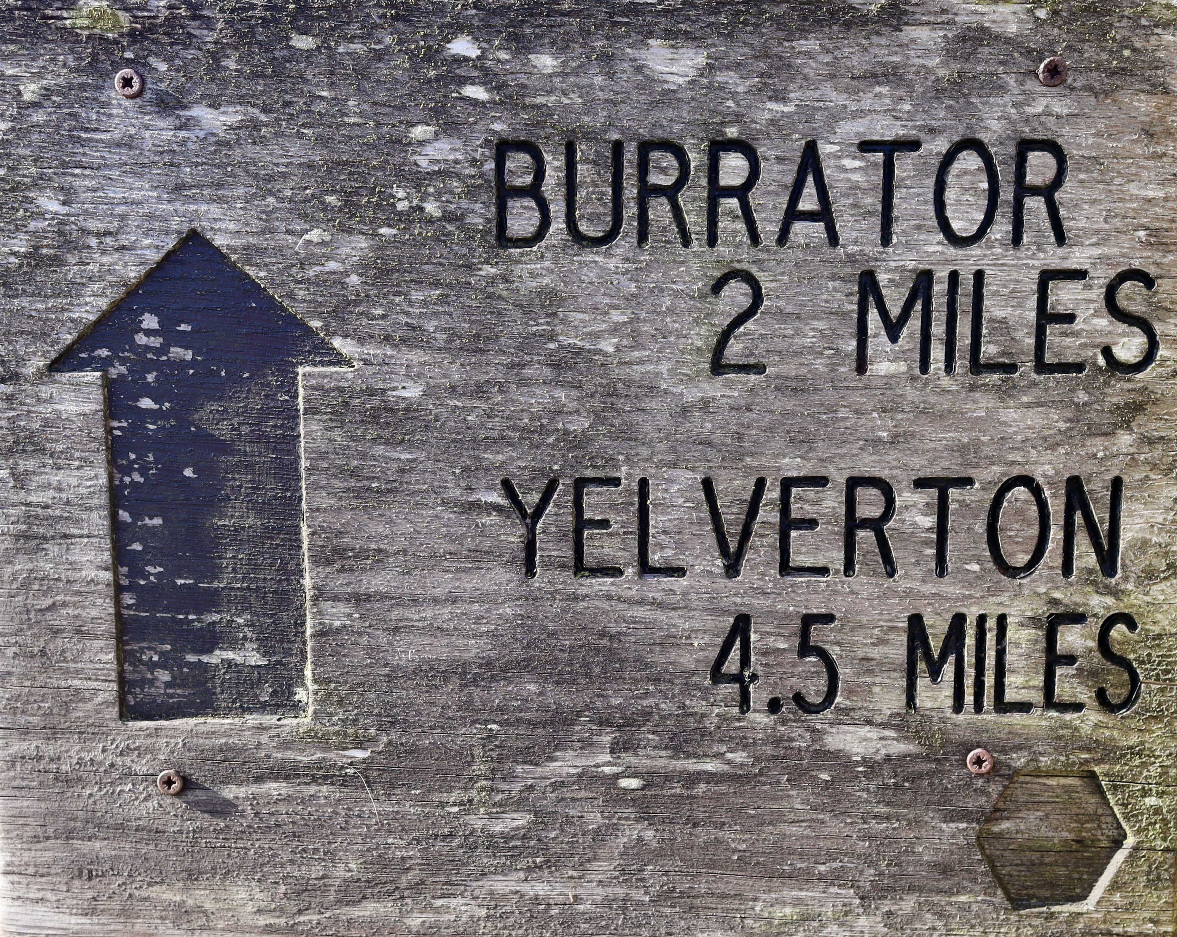
Princetown Railway
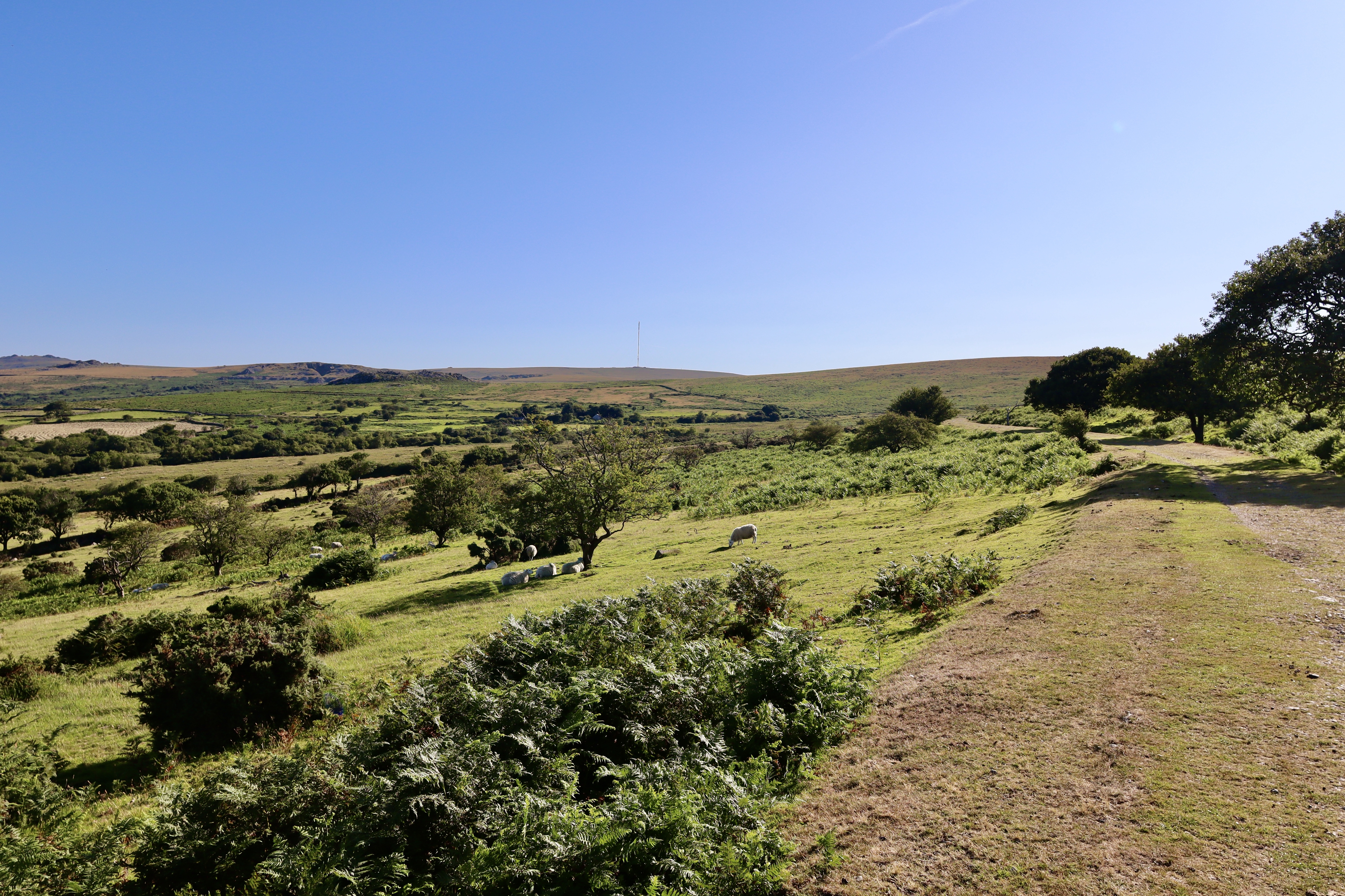
Our walk begins in Princetown, where the wide skies stretch out across the high moor. From the car park, we join the unmistakable path of the old Princetown to Plymouth Railway—once the highest railway line in southern England. The track was opened in 1823 with the initial intention of promoting the agricultural development of the moor. With this objective proving frustratingly obstinate, the railway found another use – that of carrying granite in horse drawn wagons, from the quarries of Foggintor and Swelltor. In 1883, the railway line found a new purpose, transporting people from Yelverton Siding to Princetown. Though it ceased operation in 1956, the route now makes for a wonderfully (and sometime mercifully) level and scenic path across the moor at Walkhampton Common.
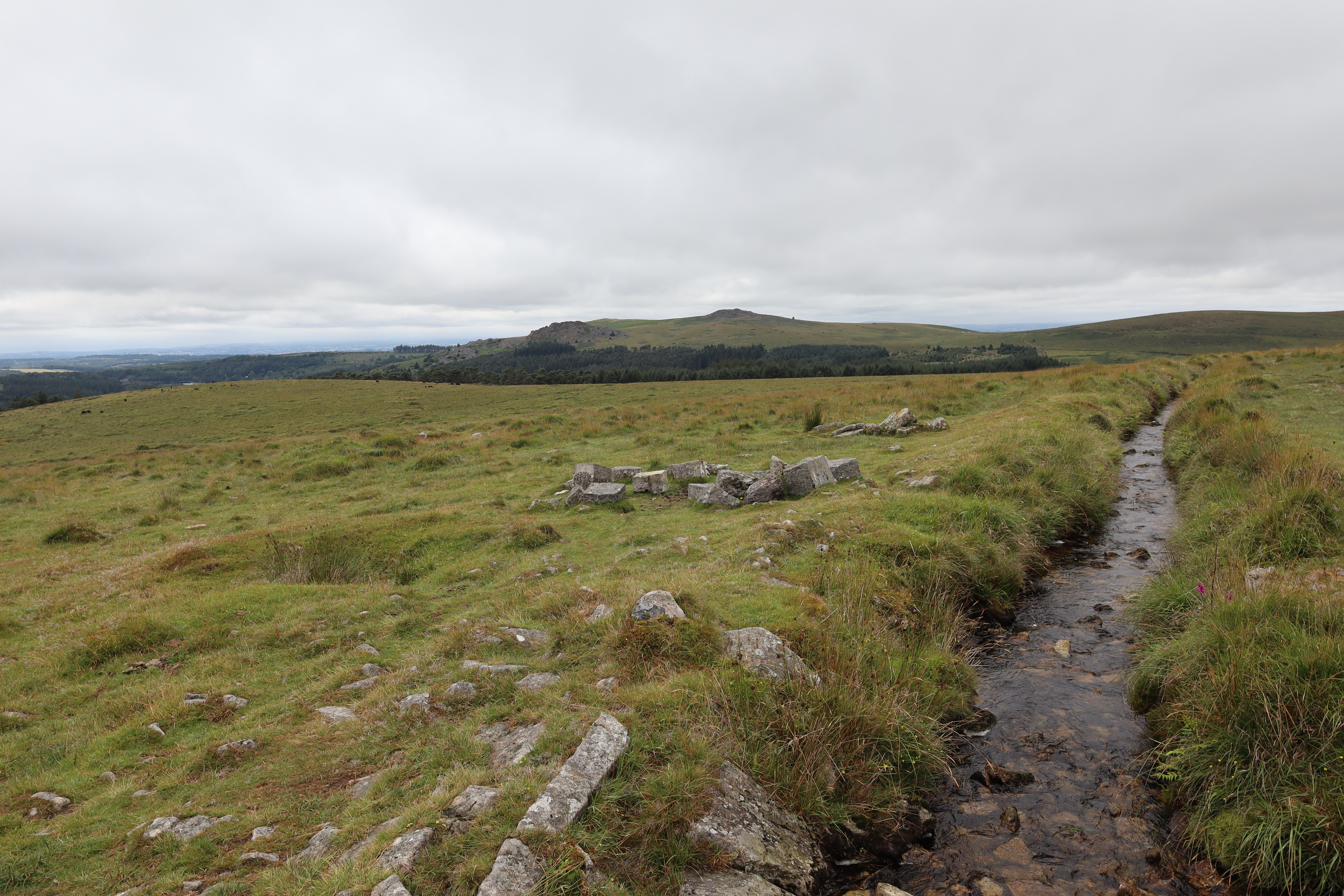
Just over a kilometre in, the path reveals something much older: the remains of a prehistoric settlement. Here, eleven distinct hut circles offer a tangible link to Bronze Age life on the moor with shelters that once bustled with domestic activity more than 3,000 years ago. I’ve previously mentioned the sense of wonder I get when I pass so casually by these ancient monuments of the past, but today, at 0700 in the am with a clear blue sky, gently warming sun and singing morning birds, that wonder gives way to a self-assured sense of place.
King’s Tor
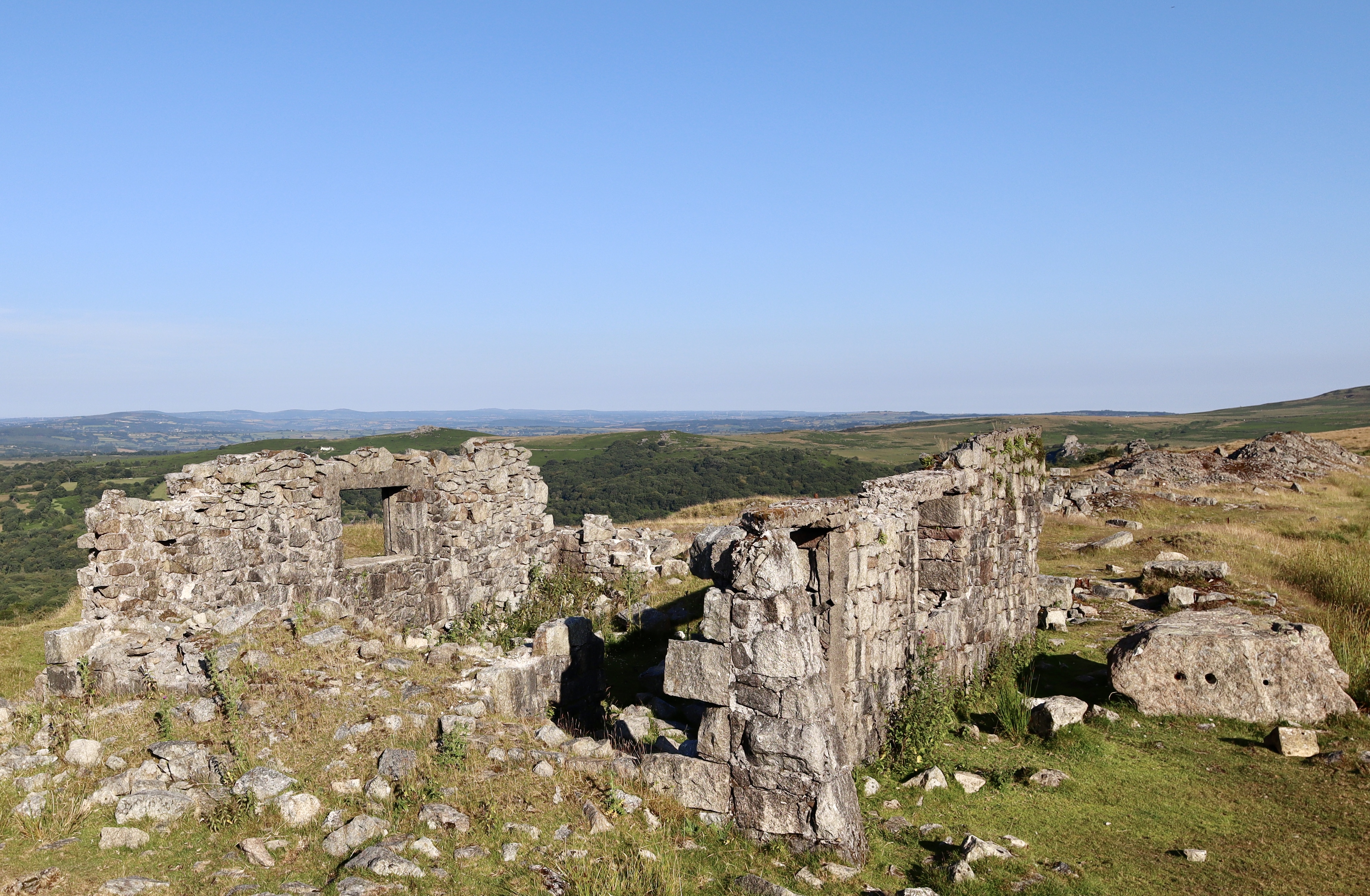
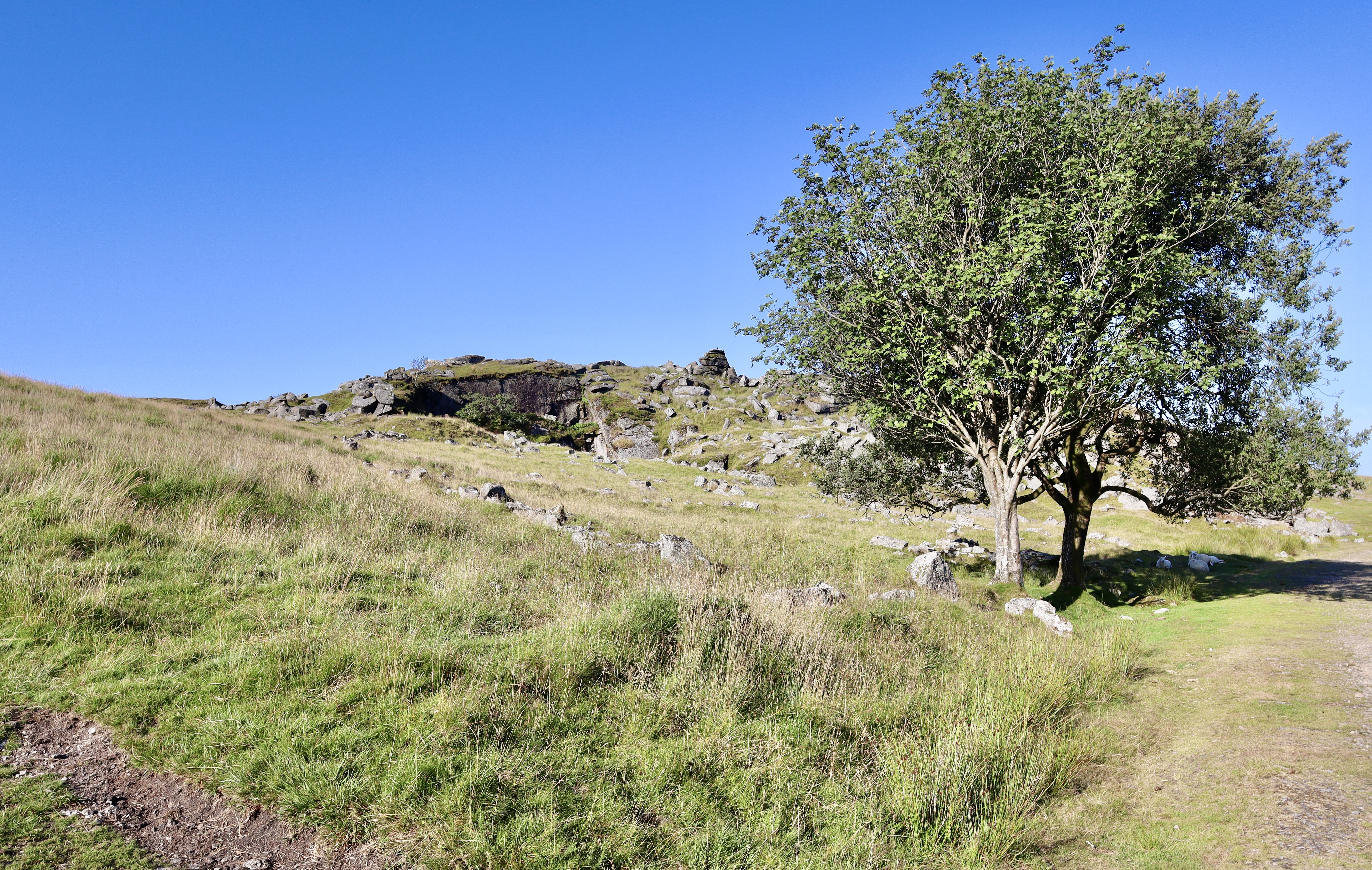
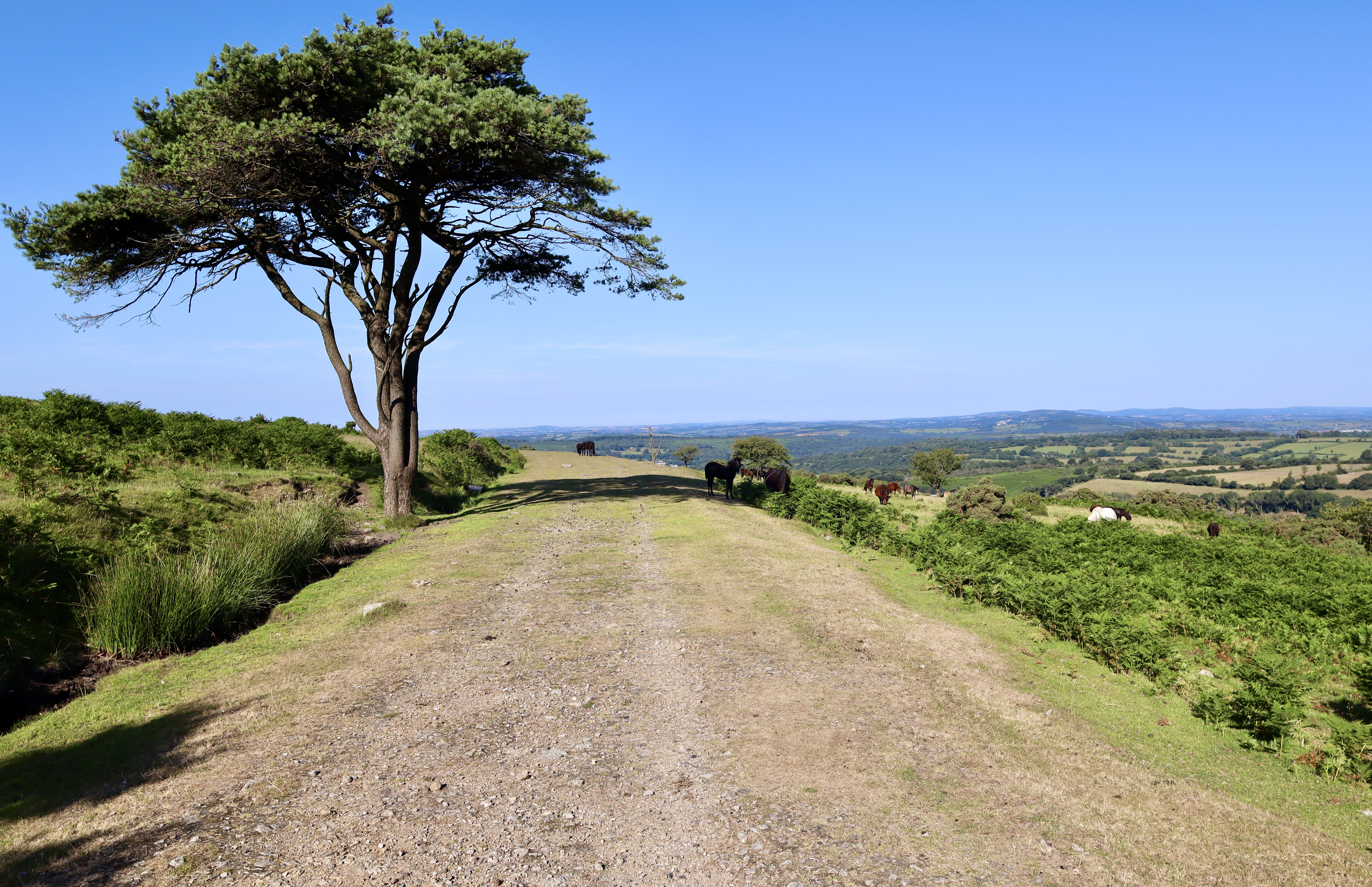
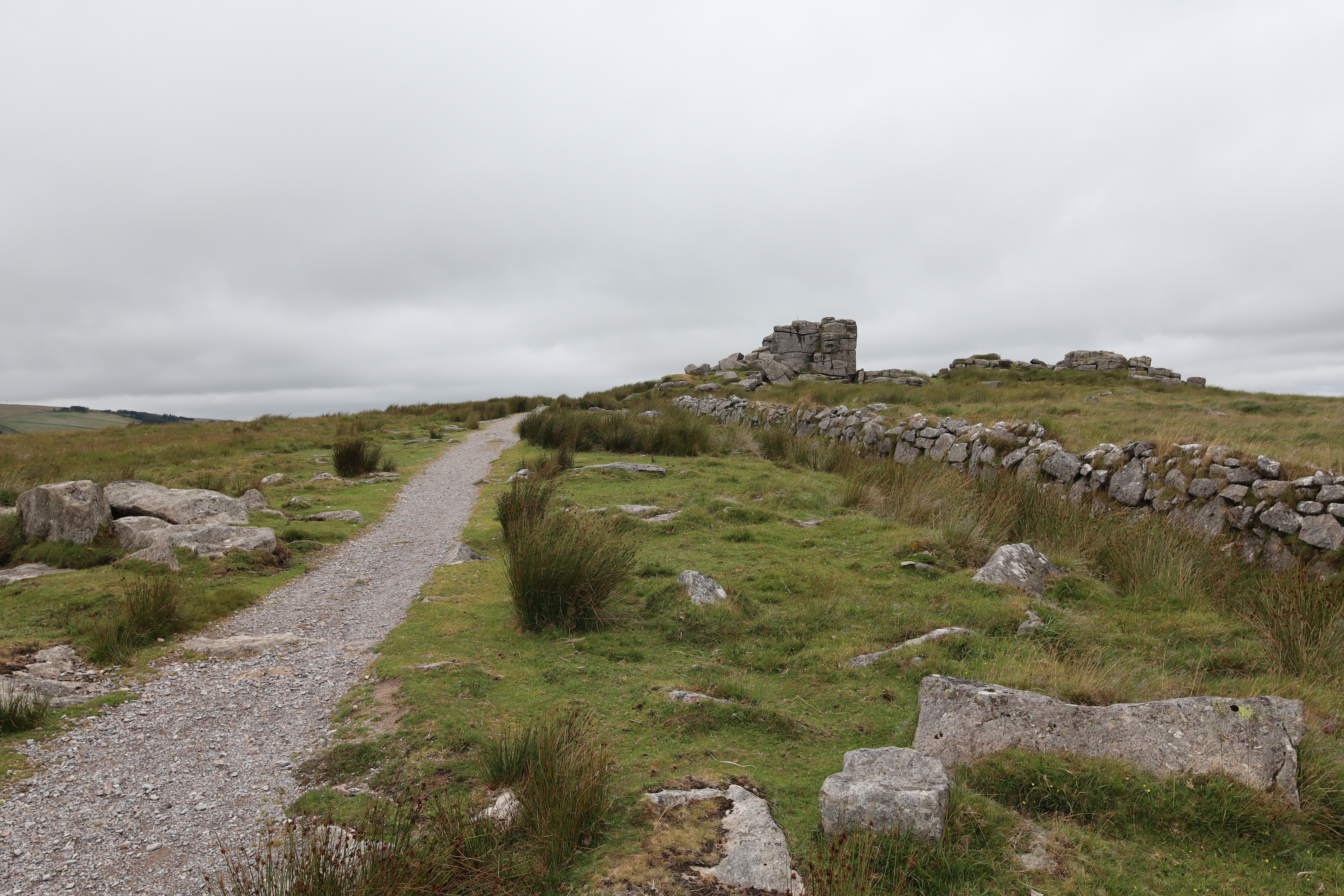
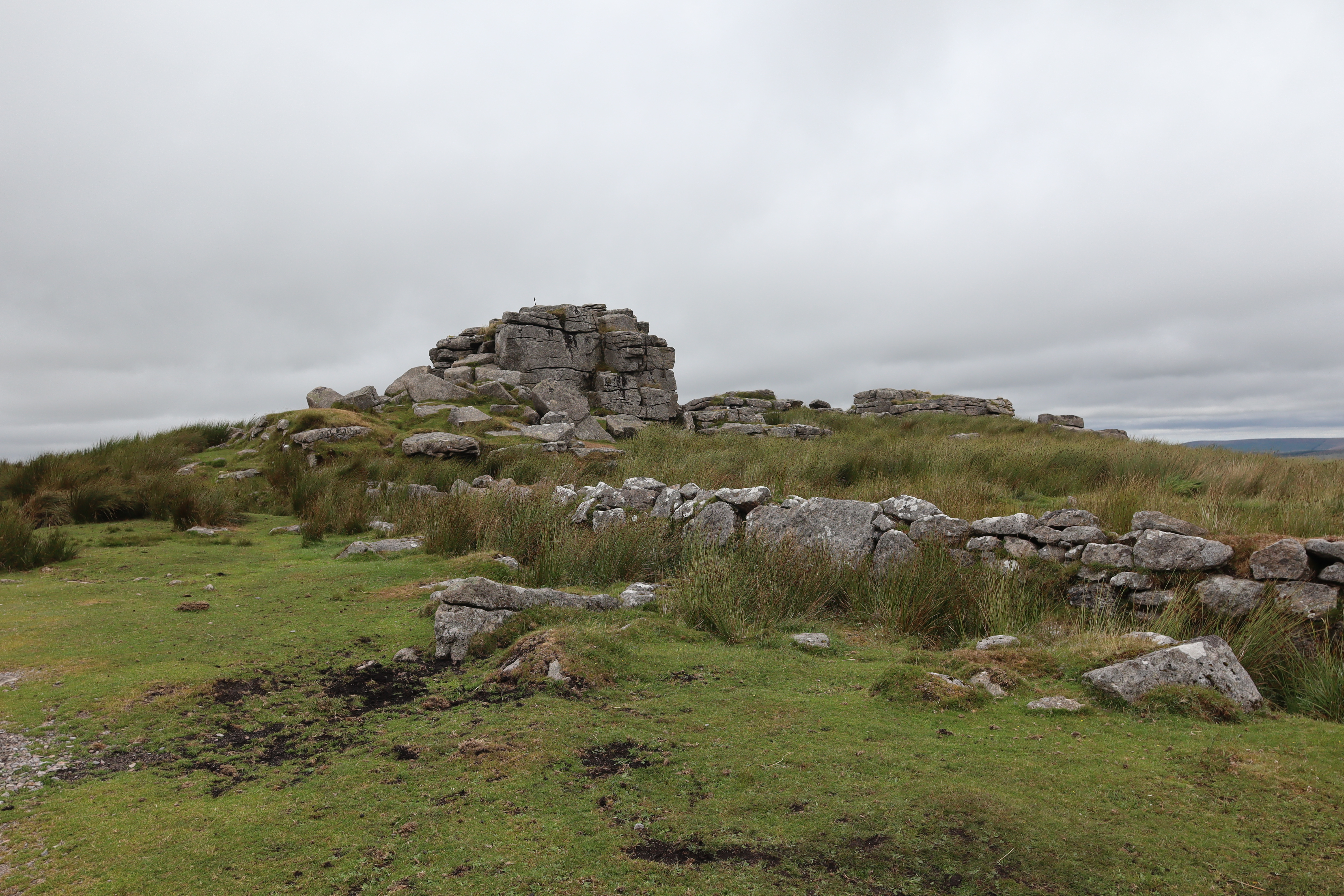
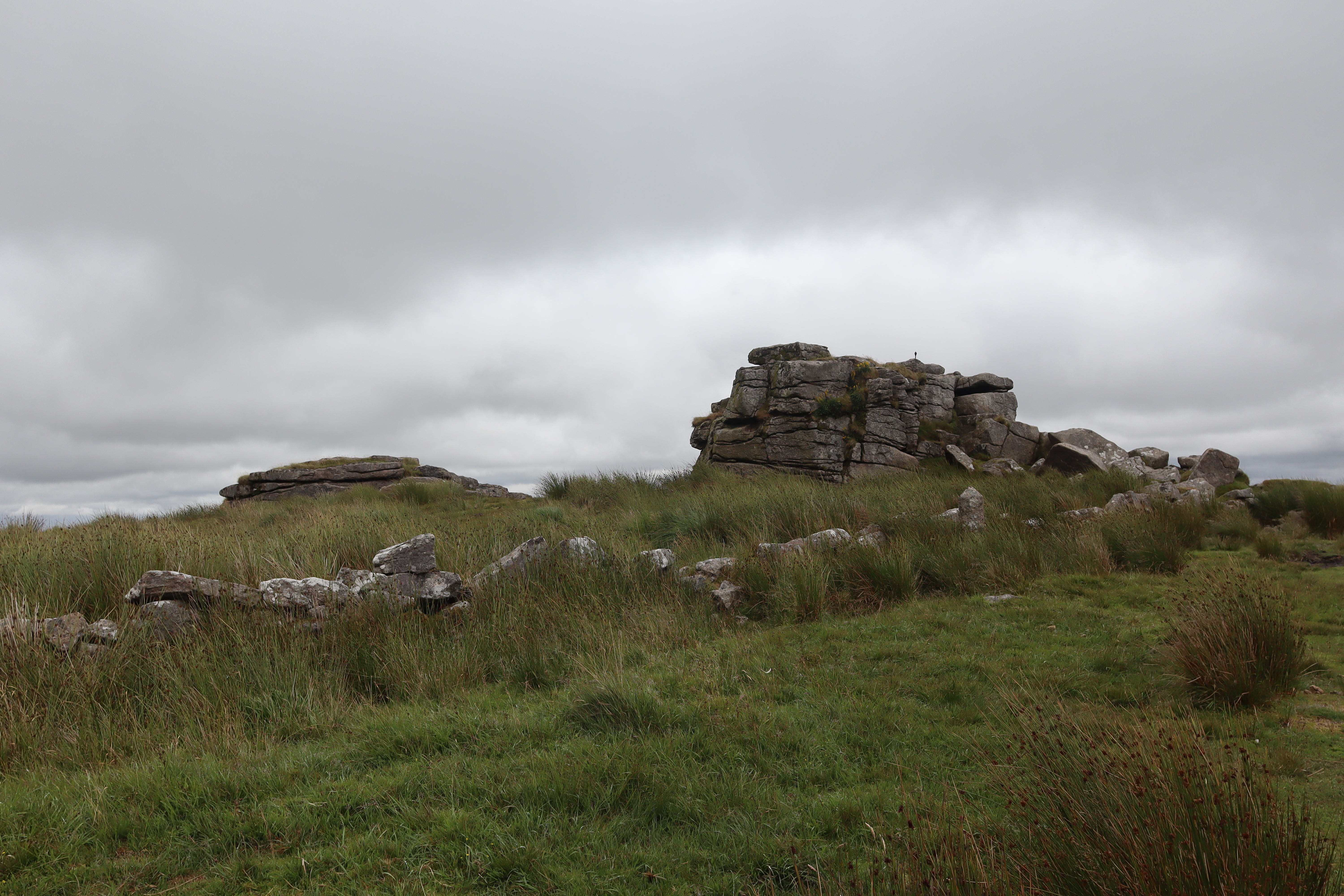
At around 2.5km, the path forks. A tempting branch veers right toward the dramatic ruins of Foggintor Quarry (see previous walks here) but we keep left, heading northwest toward King’s Tor. Sitting high above the Walkham valley, this striking granite outcrop stands guard above the ancient complex at Merrivale, an area rich in Neolithic ceremonial remains. The Tor itself offers classic Dartmoor views and is worth the short climb if time allows, as it does for me this morning.

Swelltor Quarry
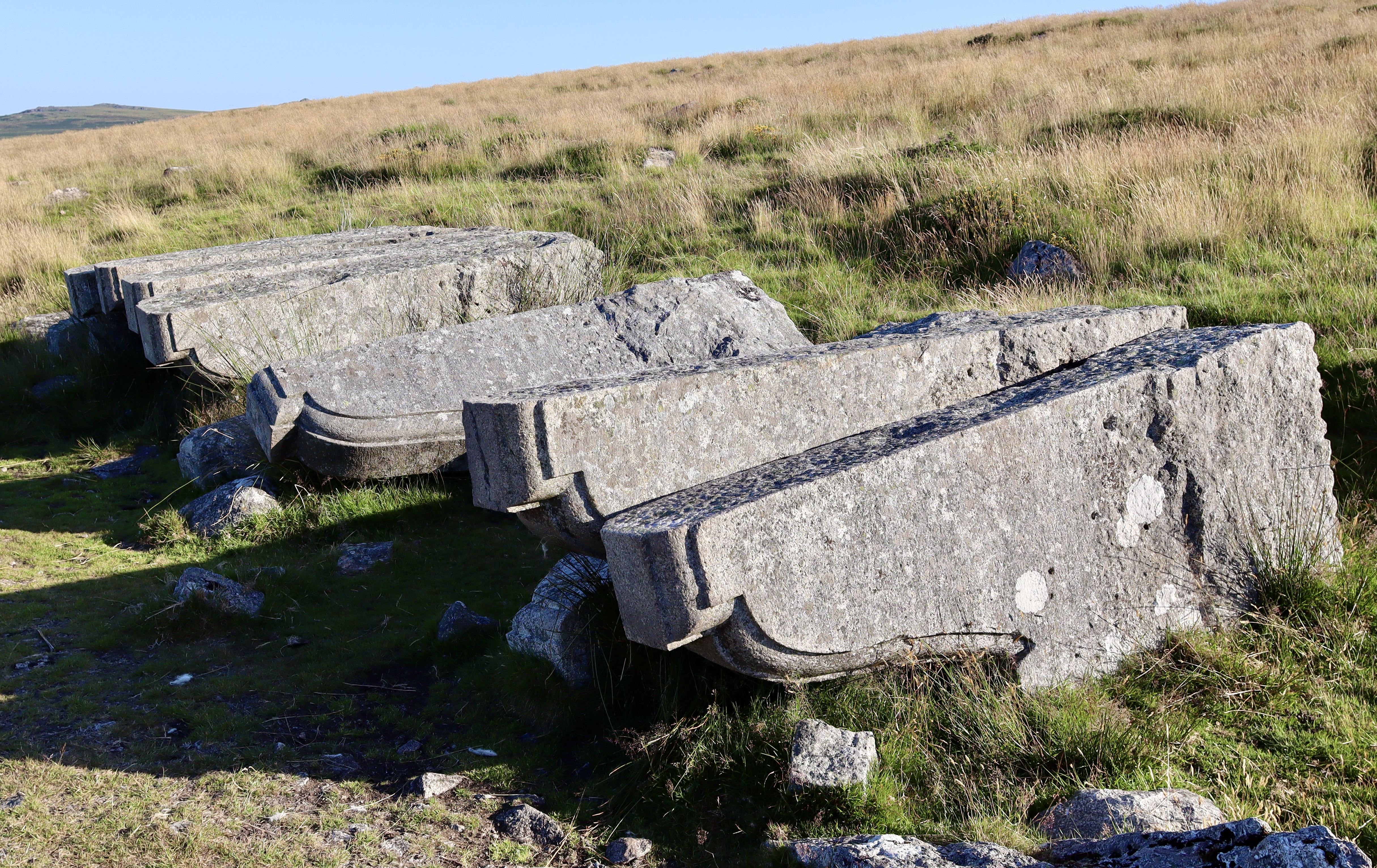
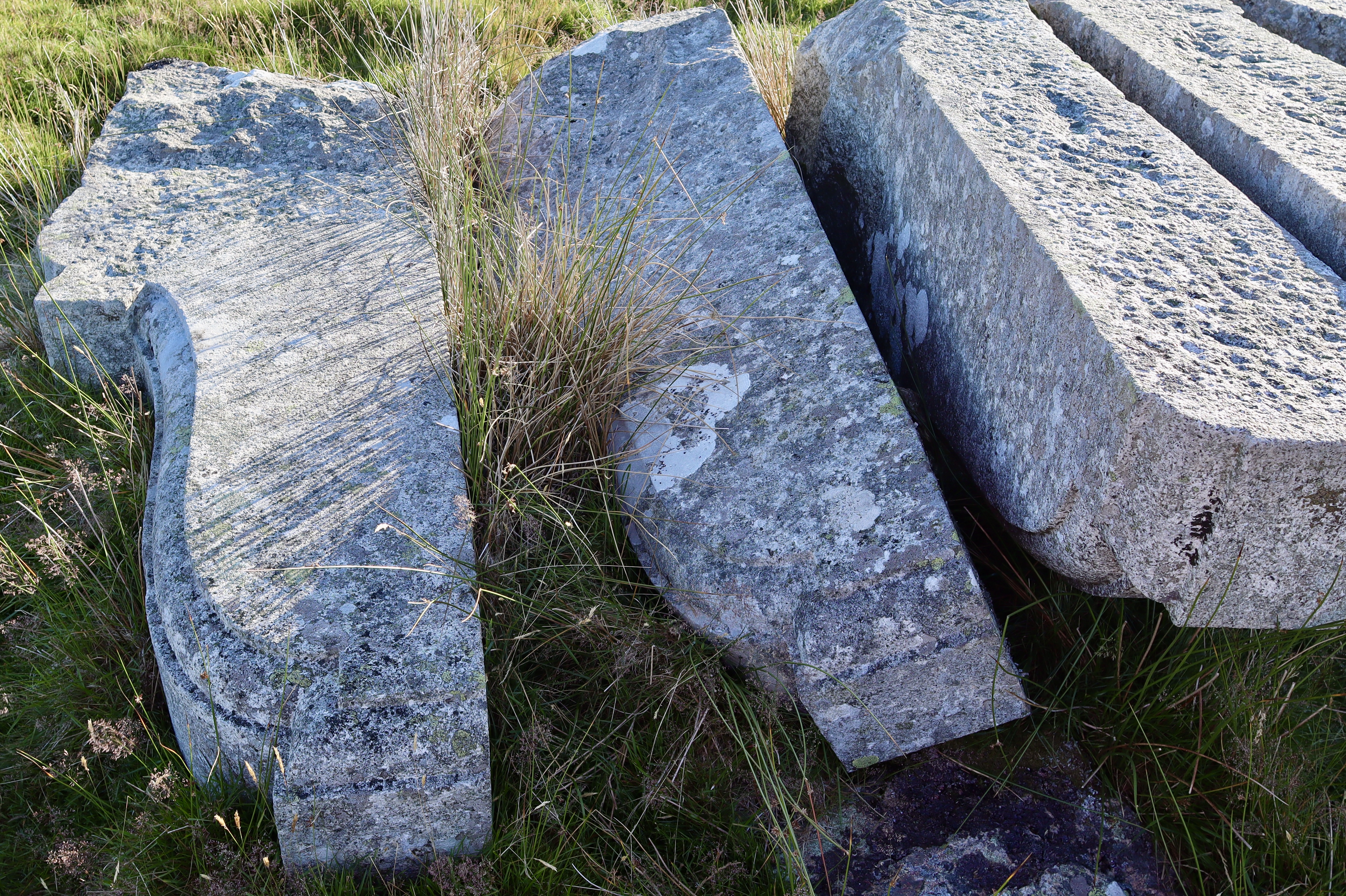
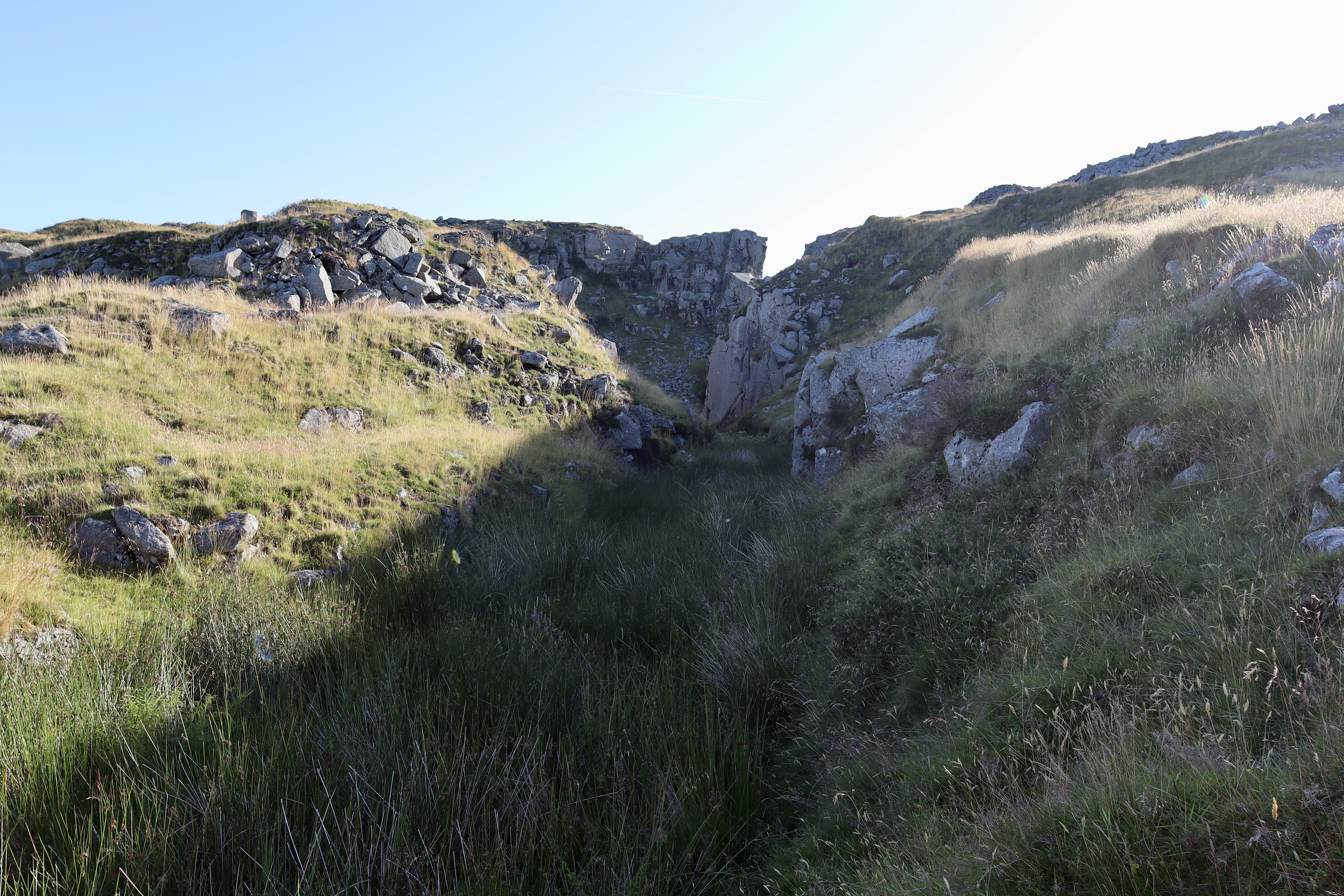
Circling beneath King’s Tor, following the abandoned railway around its base, we arrive at Swelltor Quarry. It’s fair to say the Swelltor Quarry is a quieter cousin to the nearby Foggintor, but it is no less atmospheric. Tucked into the rugged landscape, Swelltor Quarry is a hauntingly beautiful relic of Devon’s industrial past. As with the nearby Foggintor, Swelltor was a thriving granite quarry in the 19th and early 20th centuries, acting as a key site supplying stone for major construction projects, including London’s iconic Nelson’s Column and the Old London Bridge. Now long abandoned, the quarry has been reclaimed by the moor, its high cliffs and echoing hollows offering a dramatic contrast to the windswept tors nearby.
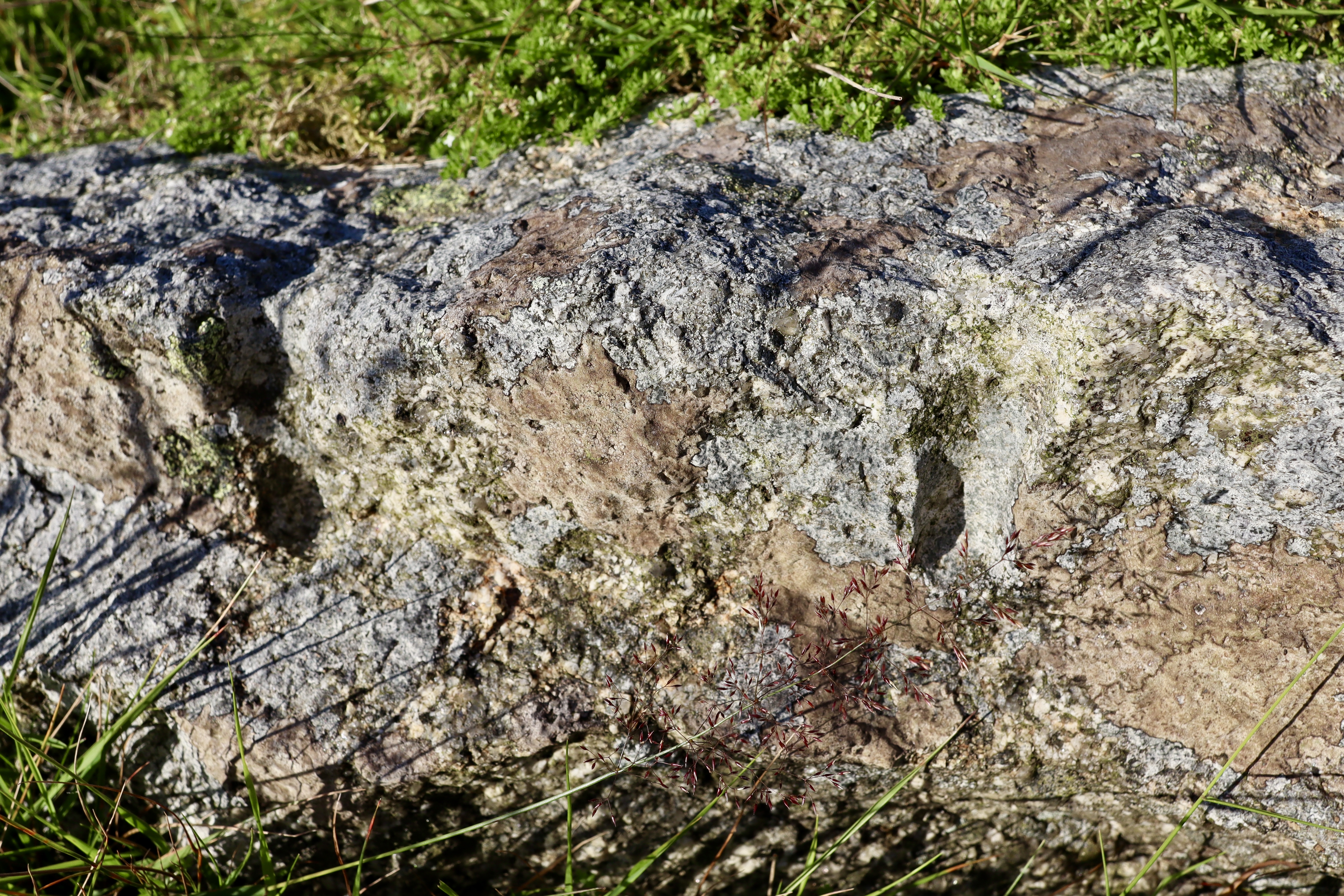
What makes Swelltor particularly compelling for the intrepid hiker, are the scattered industrial artefacts left behind. Massive, dressed granite corbels lie as if mid-transit, and rusting rail tracks hint at the once-busy tramway that linked the quarry to the Princetown Railway. Look closely and you’ll spot the remains of winches, mooring points, and the outlines of stone-cutting sheds. You can even spot ‘feather and tare’ marks on numerous abandoned blocks, evidence of the traditional technique used to split stone. These frozen moments in stone and the echoes of the industry, tell their own silent story, inviting visitors to pause and imagine the labour and lives that once filled this now-silent corner of the moor.
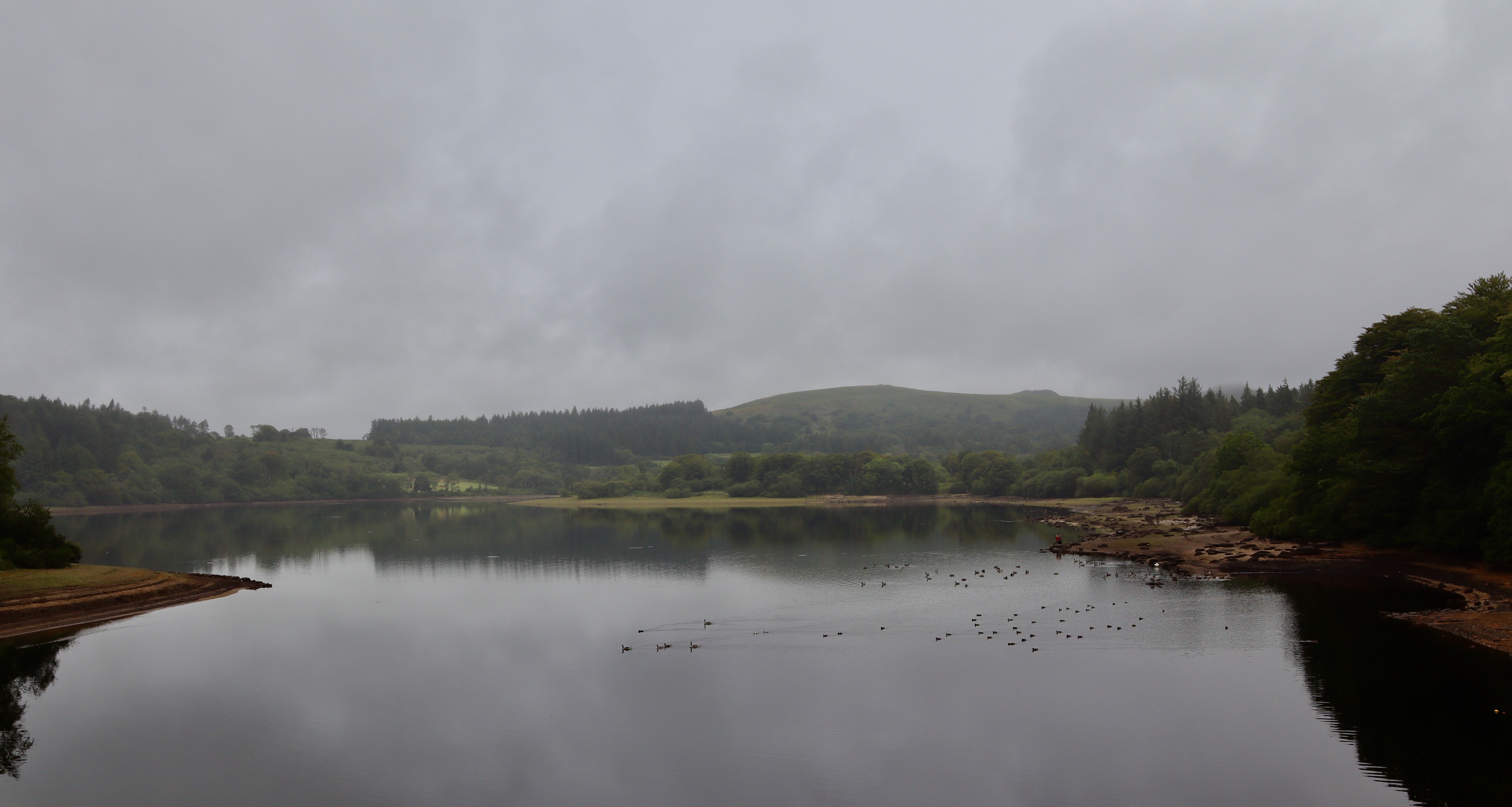
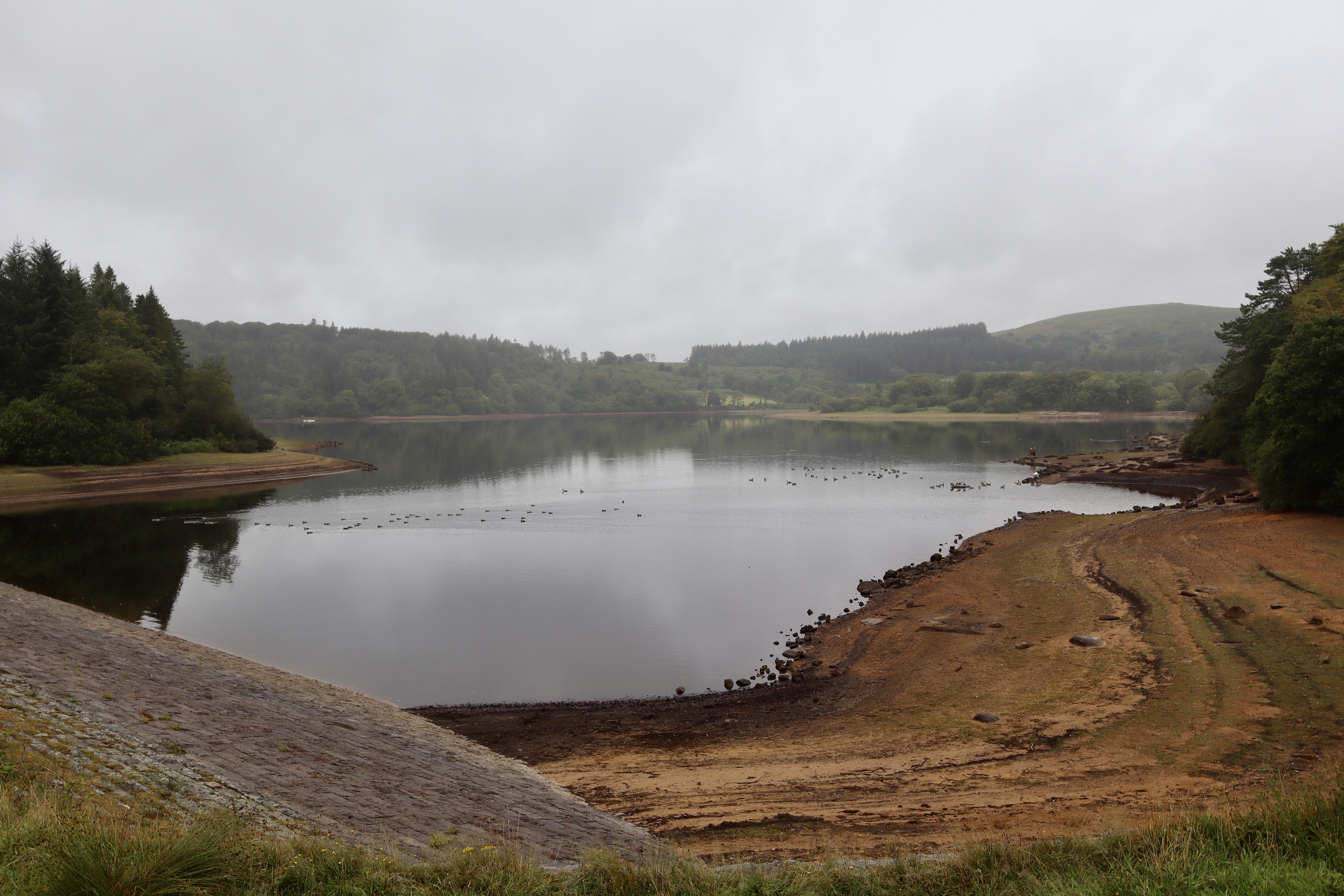
Burrator Reservoir
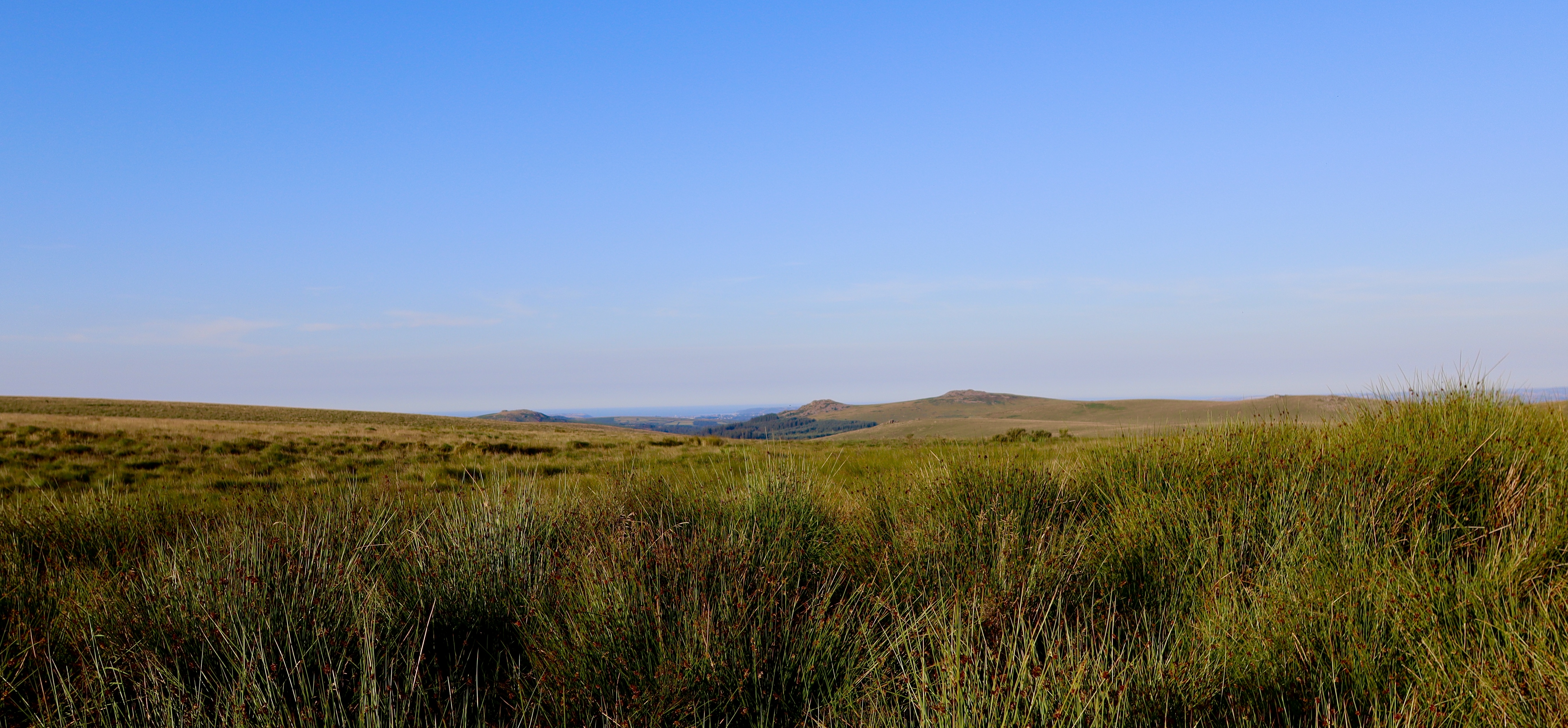
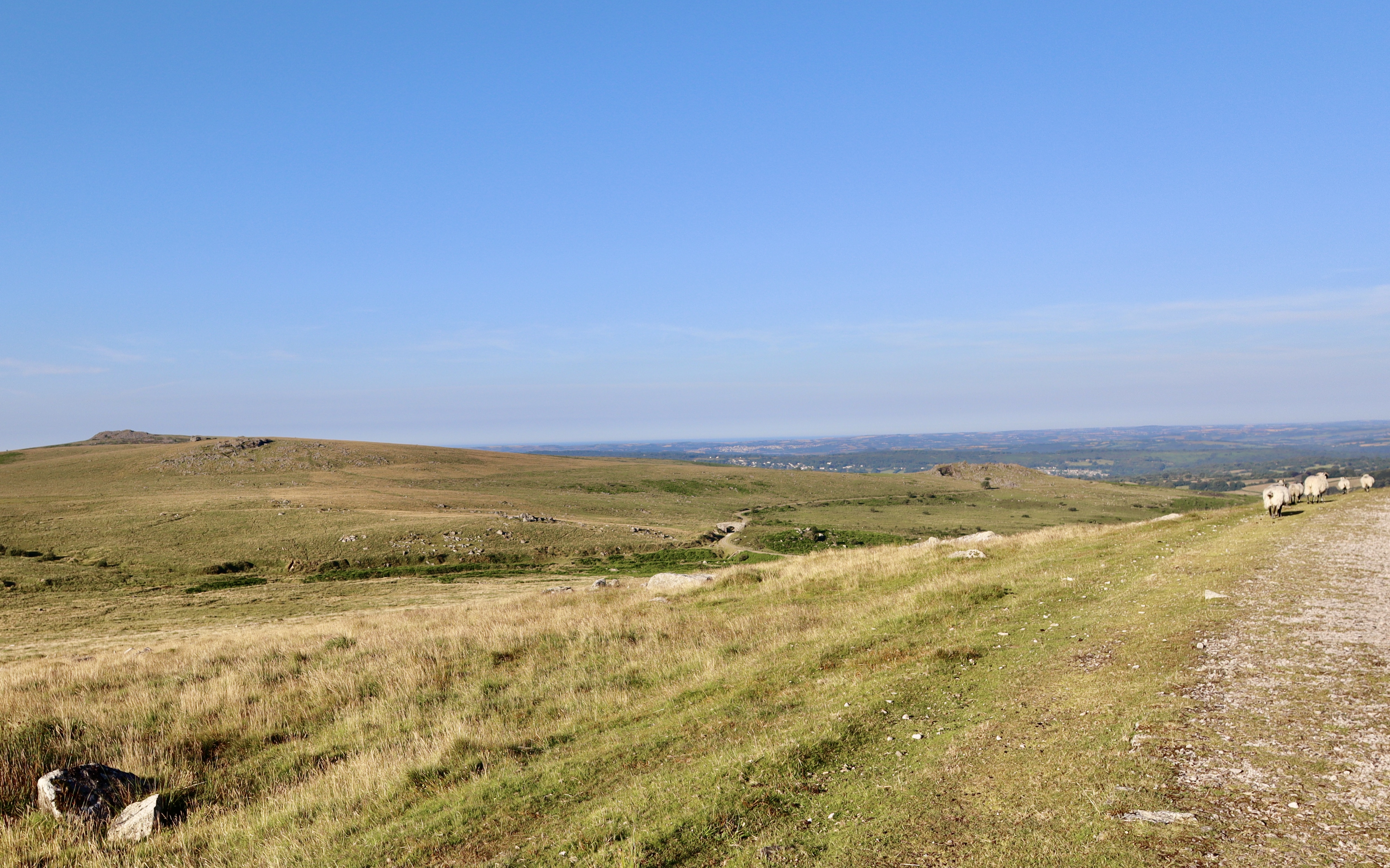
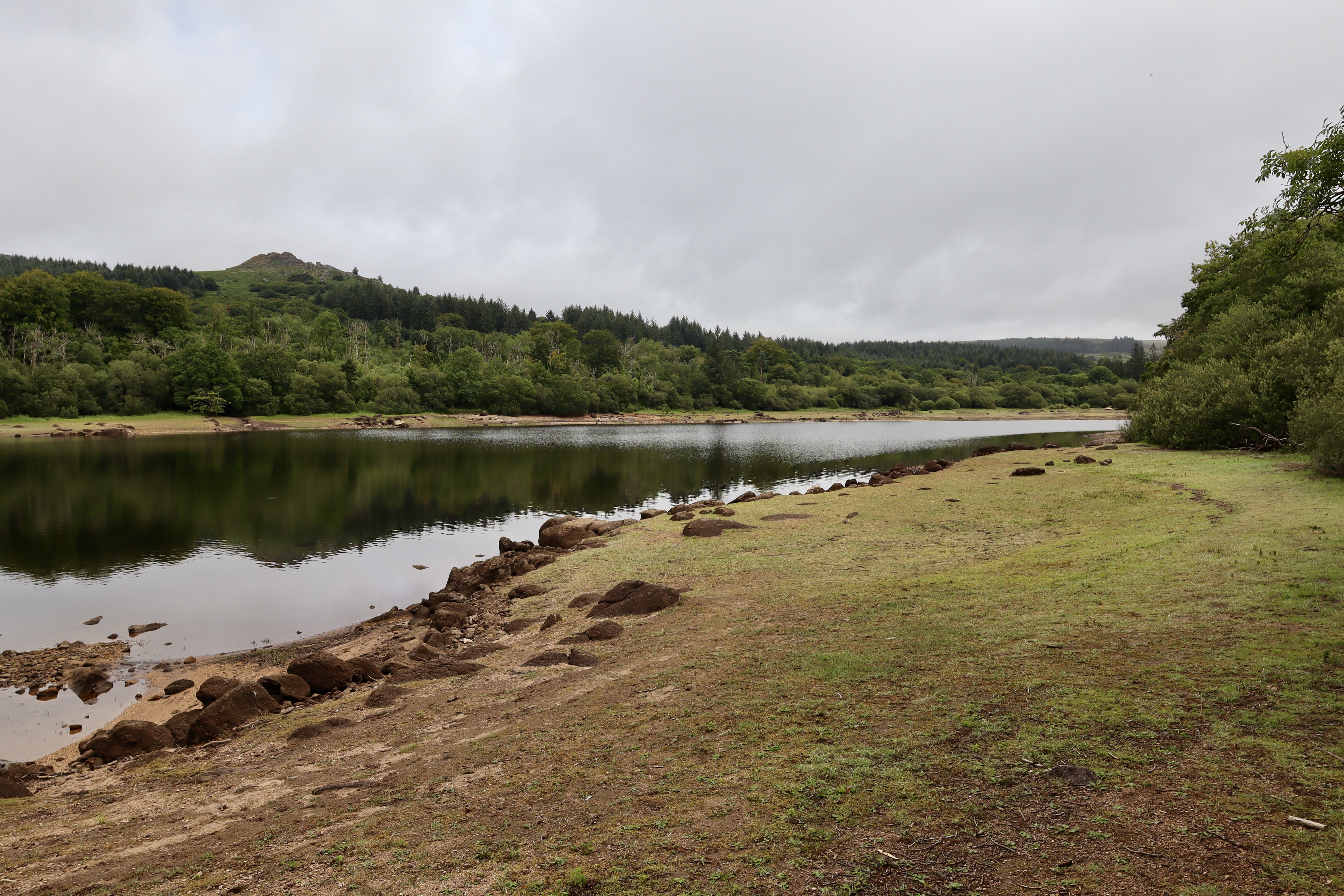
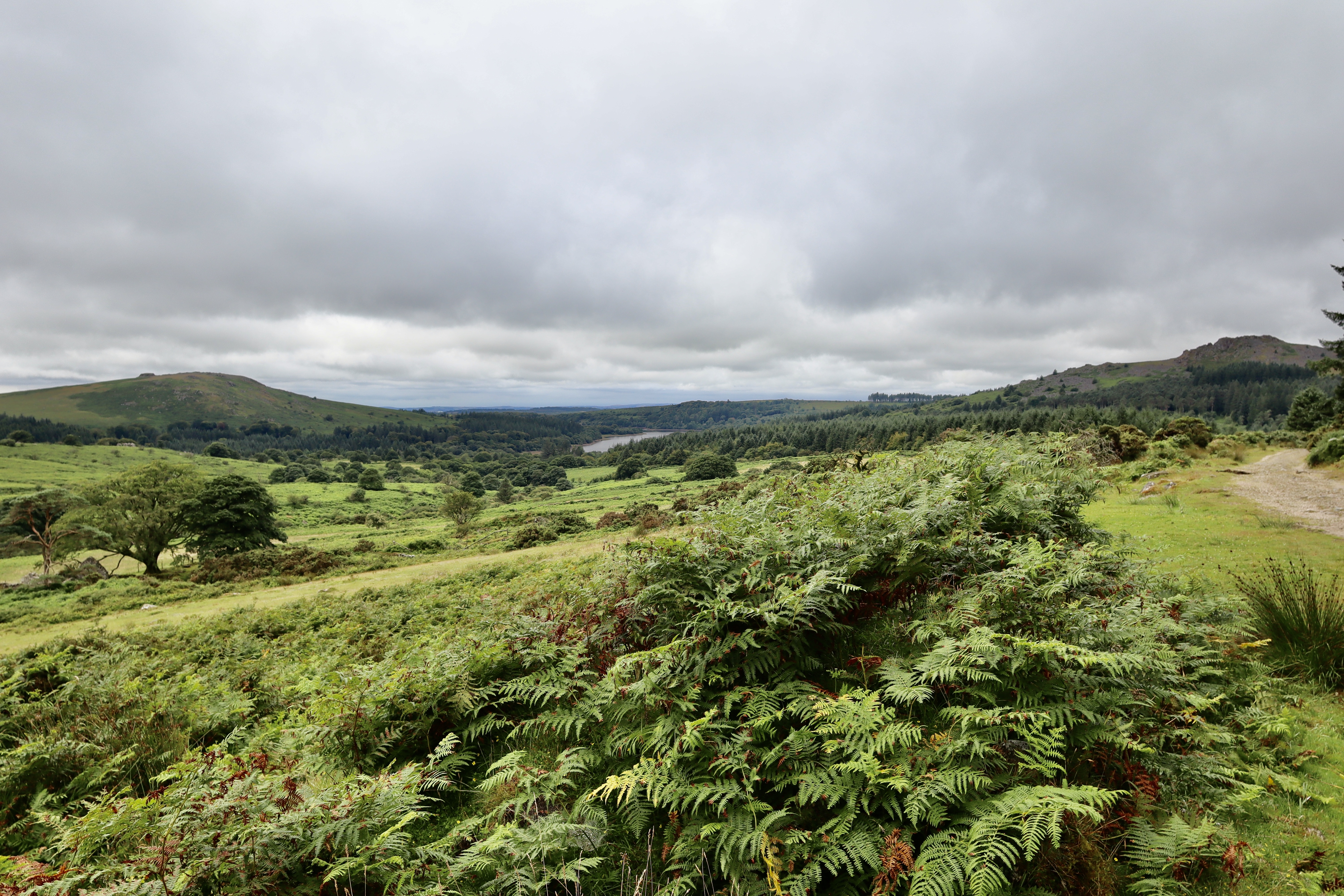
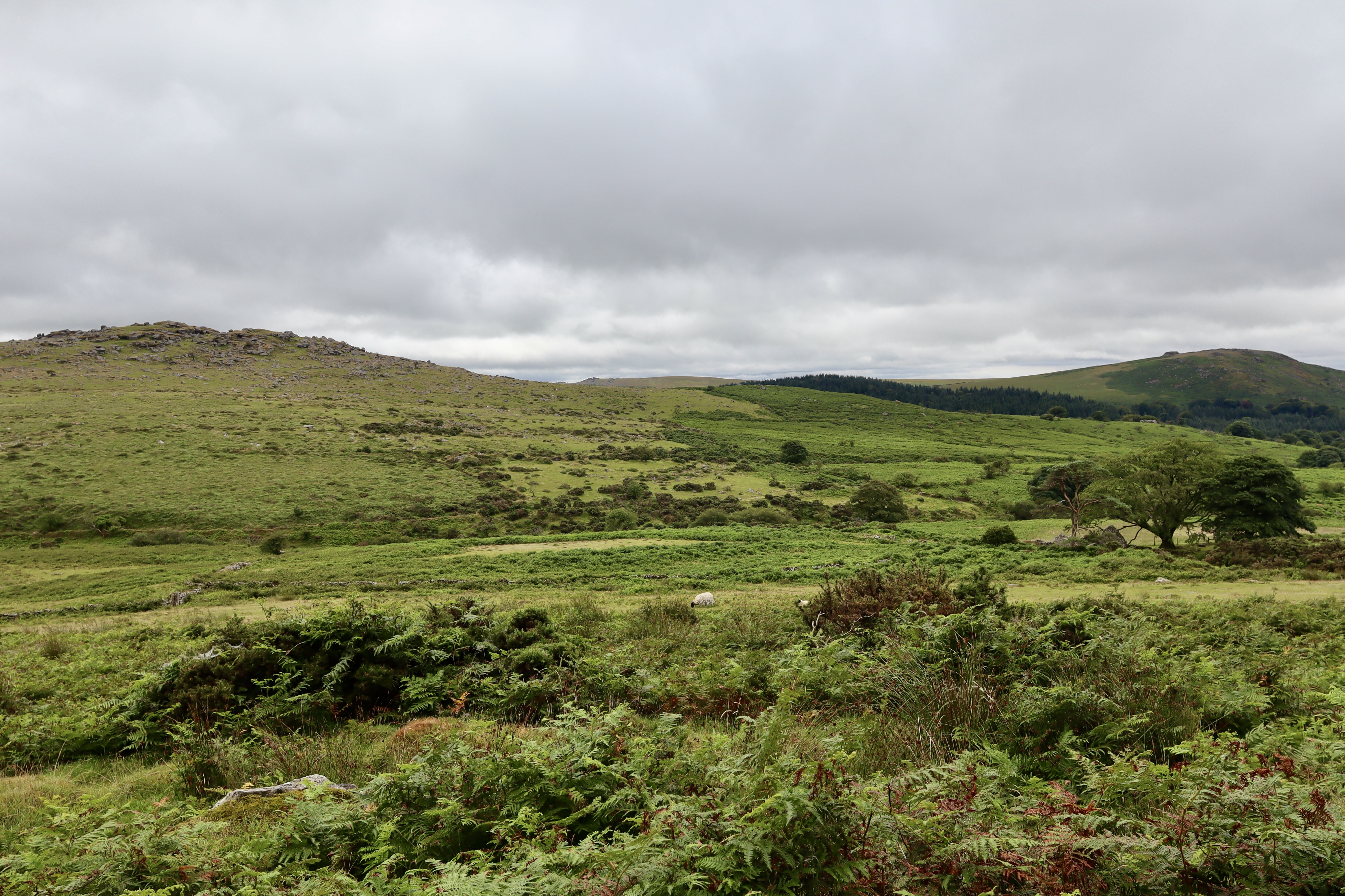
The path now contours gently around Walkhampton Common, skirting the base of Ingra Tor. Some tors on Dartmoor demand close exploration — you scramble over weathered granite, disappear into cracks and crevices, and feel the ancient silence settle around you. Others are best admired from a distance, where their angular contours rise sharply against the moorland sky. Ingra Tor is one of the latter: dramatic, photogenic, and best appreciated from afar.


So, instead of climbing it today, I opted for a more meandering route, one rich in wildflower-edged paths and narrow country lanes winding between farmland. High hedgerows lined with summer wildflowers guided us toward Peekhill Plantation, which is a mix of conifers and broadleaf trees planted as part of Dartmoor’s reforestation efforts in the 19th century.
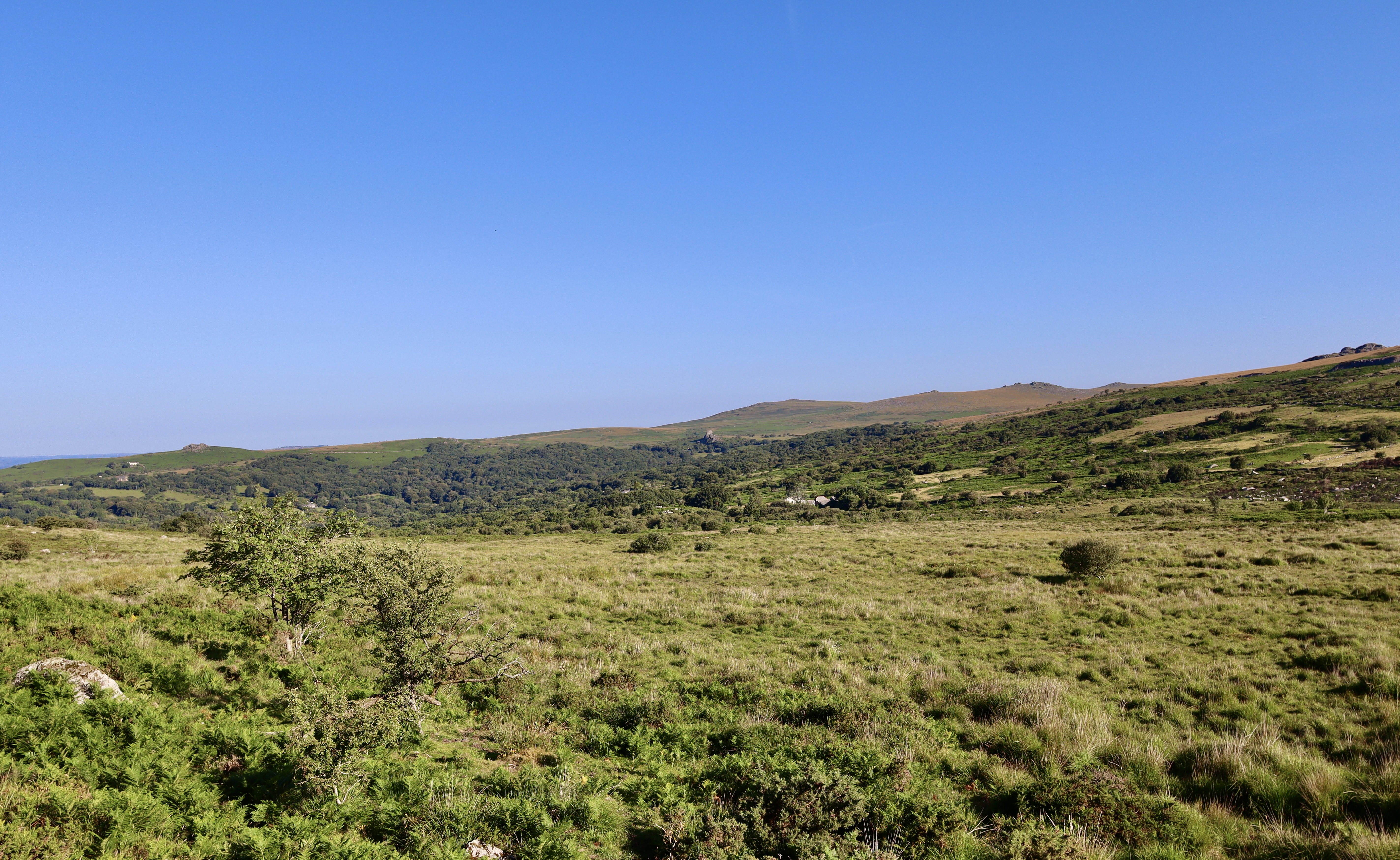
After a few hundred metres in the plantation, the path splits. One option takes you onto Yennadon Down with the other forking to the left towards the reservoir. Taking the left fork, we crossed the Devonport Leat and joined a quiet country road. This stretch was pure serenity: the reservoir glinting to the left, the gentle gurgle of the leat to the right, and birdsong echoing through the trees.
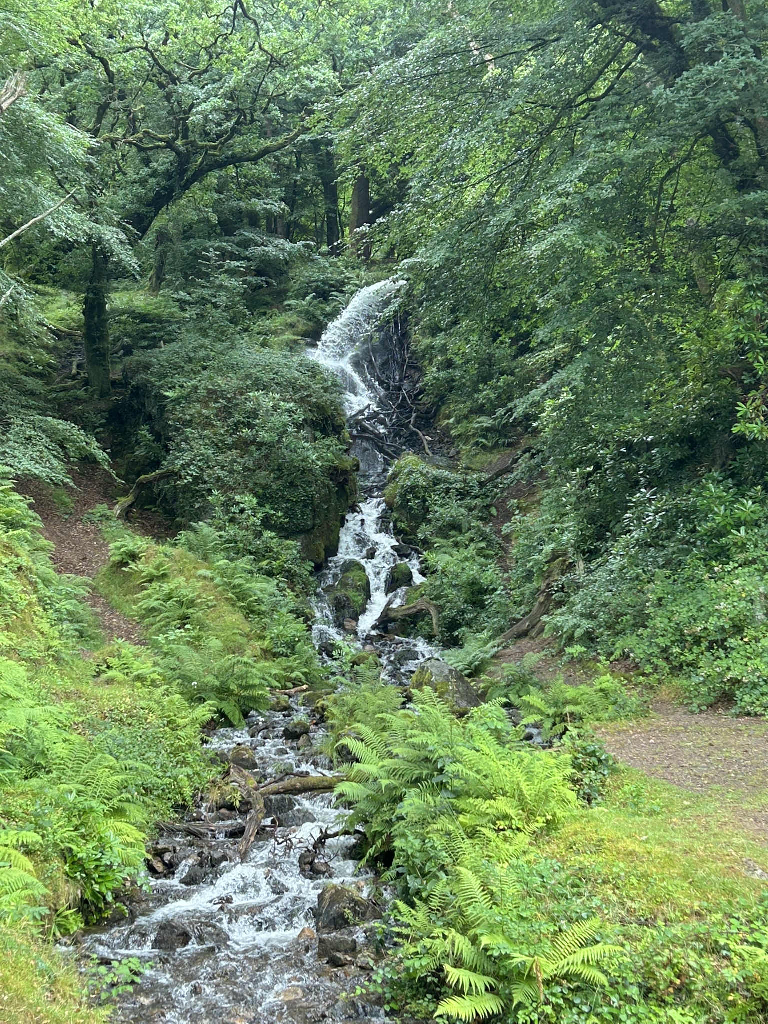
After a steady descent, the road brought us to Burrator Reservoir’s encircling loop. About 350 meters along, we were rewarded with a beautiful surprise as a waterfall cascades down from the woodland above, the water exiting the leat with fury, to join the Reservoir below. It’s one of the many hidden delights of this route and well worth a short pause.
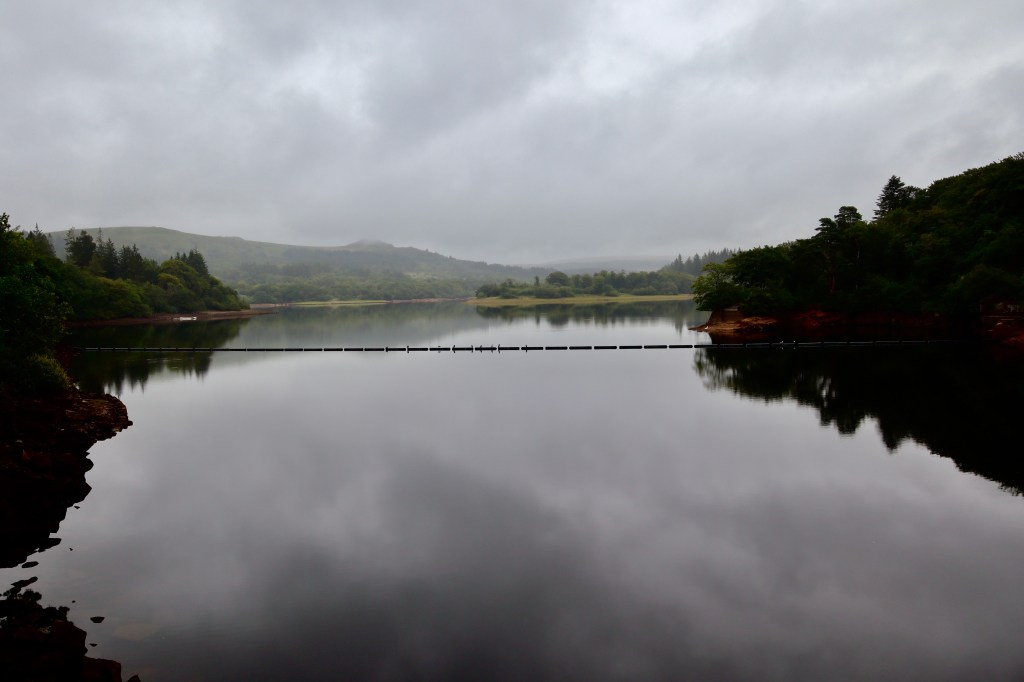
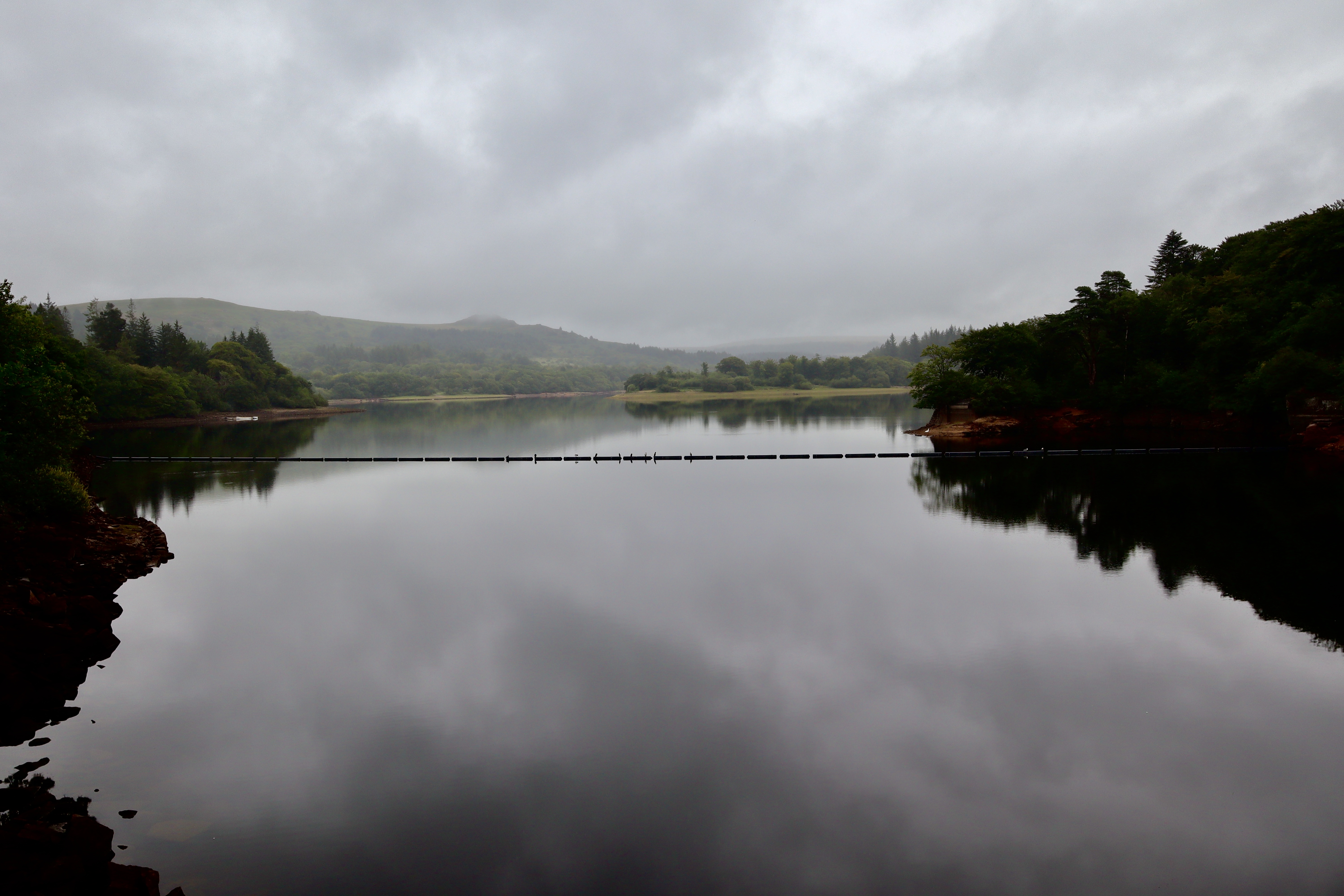
Continuing another 200 meters, we turned left to cross the Burrator Dam, an iconic Dartmoor feature offering stunning, uninterrupted views of the reservoir. Constructed in the late 19th century, the dam helped transform the valley into one of Devon’s most important water sources.
Burrator Reservoir is a vital water source with a rich blend of history and folklore. Constructed in 1898 and later expanded in 1929, it was built to supply water to the growing city of Plymouth. During its construction and growth, the reservoir laid claim to several old farms and hamlets, including Sheepstor and Meavy, whose remnants occasionally surface during dry spells, evoking a haunting connection to the past. Local folklore whispers of ghostly figures wandering the misty banks on an evening, said to be the spirits of villagers whose homes lie beneath the water. The area is steeped in Dartmoor legend, with tales of piskies and phantom hounds roaming the surrounding woods and tors, enhancing Burrator’s mystical allure.
Norsworthy Bridge
After crossing the dam, we followed the road for about 350 meters before taking another dam path that skirts the southeastern edge of the reservoir. This 2.5-kilometre trail is peaceful and gently undulating, offering glimpses of water through the trees.
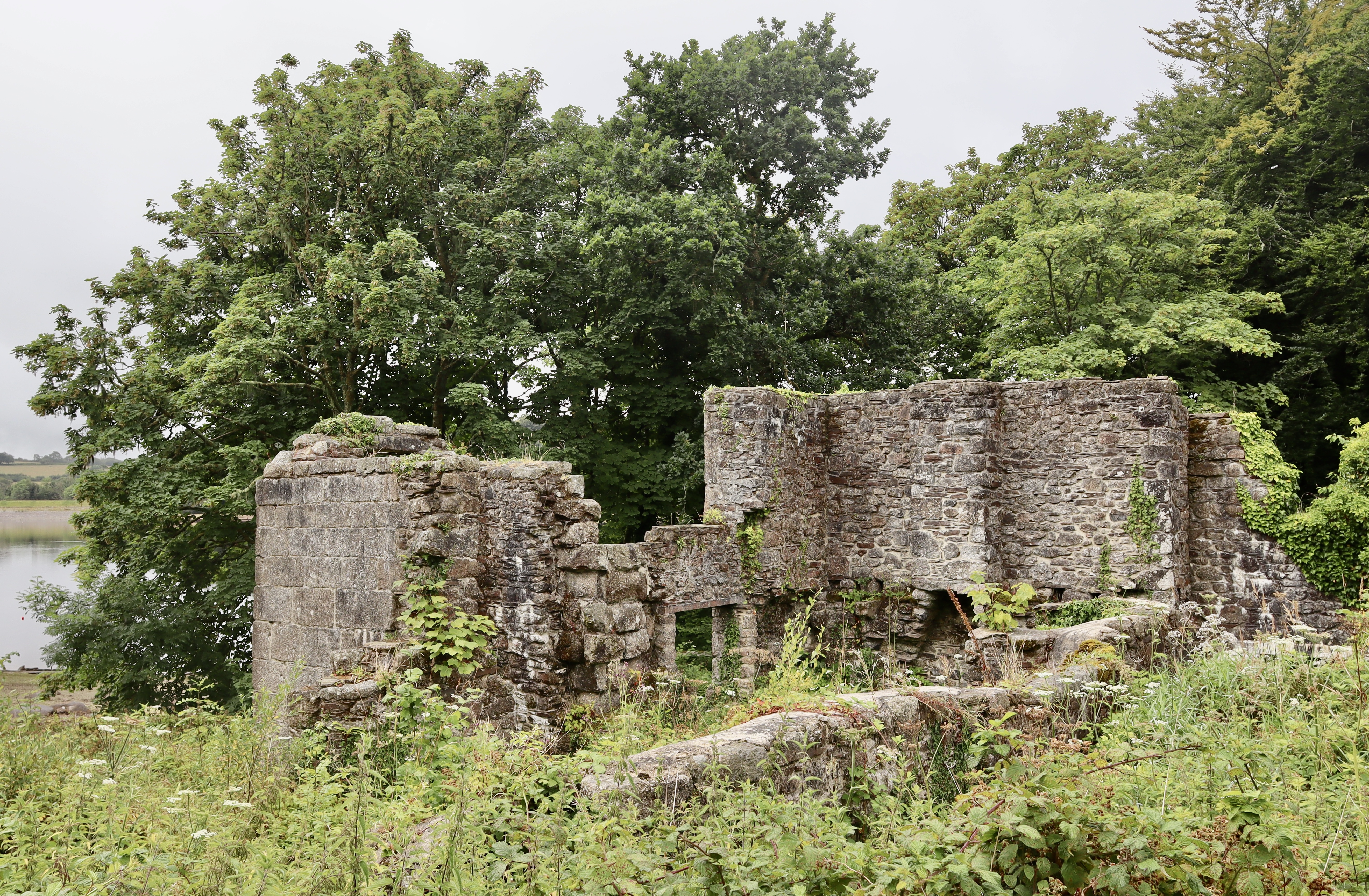
En route, we passed the moss-covered remains of Longstone Manor, which the nearby information board tells me was a grand Manor House, owned by the Elford Family. After passing out the hands of the Elford’s in 1750, the Manor House became a significant farmstead, but was abandoned in 1898 following the construction of Burrator Reservoir some 5 year earlier. The once significant manor house has now reduced to a few stone walls reclaimed by nature.
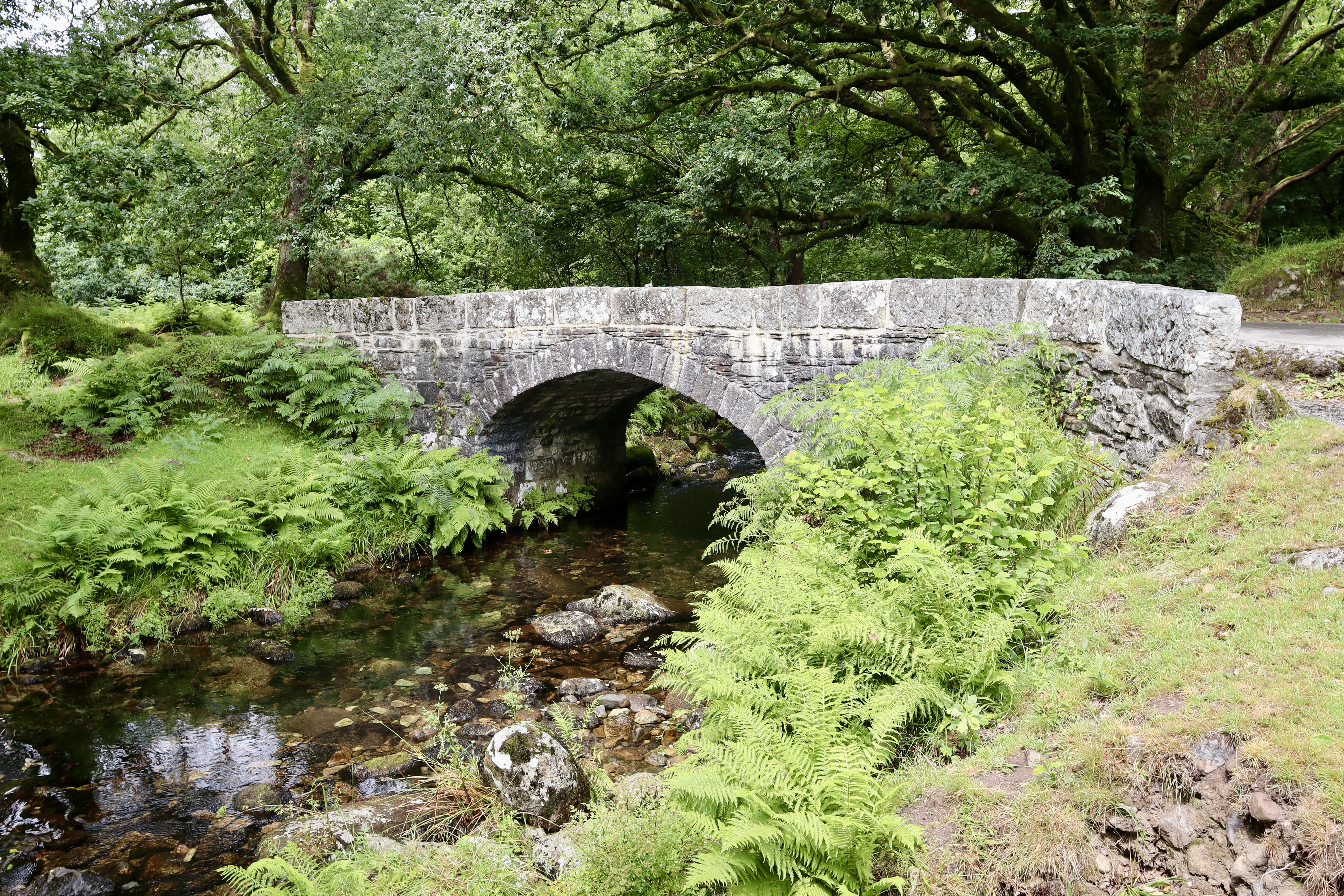
Eventually, the path led us to Norsworthy Bridge, where we rejoined the road briefly before heading into the plantation that shares its name. Norsworthy Plantation is a pocket of tranquillity, home to towering trees, damp earth, and the occasional deer if you’re lucky.
Devonport Leat and Crazywell Pool
Leaving the road behind, we climbed steadily past ancient settlements near Raddick Lane (although do not visit this settlement today) before reaching Crazywell Pool. This eerie, still body of water is steeped in Dartmoor folklore. Some say it’s bottomless; others whisper it foretells death. True or not, it adds a hint of mystery to your walk. See the stories associated with Crazywell Pool in my post here. From Crazywell, we cross open Moorland up to the Devonport Leat.
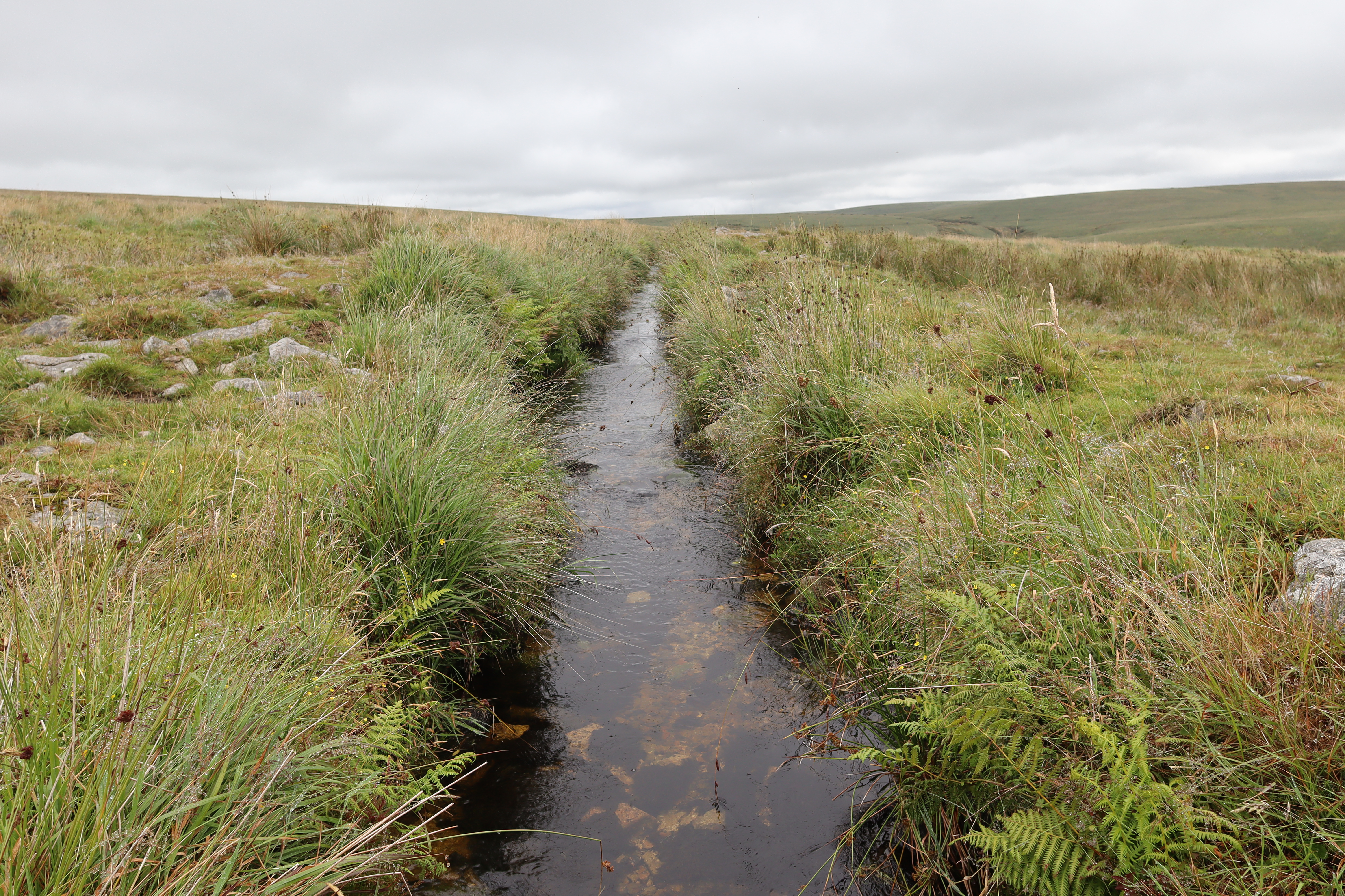
The Devonport Leat is a remarkable feat of 18th-century engineering, having been constructed between 1793 and 1802 to carry fresh drinking water from the high moors of Dartmoor to the growing naval dockyard at Devonport in Plymouth. Stretching over 27 kilometres, the leat ingeniously follows the natural contours of the land, gently winding through the moors, and collecting water from rivers passing rivers en route. Though much of the water is now diverted to Burrator Reservoir, sections of the leat remain visible and still flow today, offering a glimpse into the region’s industrial past. As with many Dartmoor landmarks, folklore clings to the leat, with some stories telling of spectral watercarriers trudging the route at dusk, while others claim the twisting channels were guided by the hands of the Dartmoor Piskies (learn about the piskies here). Blending practical purpose with a backdrop of myth and rugged scenery, the Devonport Leat is both a historical monument and a thread in Dartmoor’s rich tapestry of legend. Following the leat is easy, peaceful walking with expansive moorland views on both sides.
South Hessary Tor
As we reached Drivage Bottom, we parted ways with the leat and struck out towards South Hessary Tor. South Hessary Tor is a little mundane as far as Dartmoor Tors go, but the area around South Hessary Tor (the Tor is also known as Tor Royal) is rich in history, largely thanks to one man: Sir Thomas Tyrwhitt. He established Tor Royal Farm in 1785 and was a notable figure, serving as MP for Okehampton, Portarlington, and Plymouth, later becoming Black Rod. Tyrwhitt also acted as private secretary to the Prince of Wales, founded a prison for Napoleonic war prisoners (now HMP Dartmoor), and is the reason Princetown bears its name.
From South Hessary Tor, it’s a straightforward track into Princetown, where my journey ends. This scenic hike weaves through Dartmoor’s rich tapestry of history, industry, and myth. It’s a journey that blends wild moorland beauty with centuries of human endeavour and legend and is well worth spending a day doing.
Oh and a disclaimer – the eagle amongst you will have noticed the skies change from blue and sunny to grey and cloudy from Burrator onwards – this is because the photos have come from two different days, with my camera dying half way around the walk the first time round (so I took the excuse to do the route twice).
| Difficulty | Distance | Navigation Required? |
| Hard (due to distance) | 22km | Yes |
| Grid Reference | Safety | Footwear |
| Start and Finish SX 589 734 | Road crossing and walkingPoor underfoot conditionsGeneral Dartmoor Consideration | B1 upwards |


Leave a comment