The Brecon Beacons, known in the native tongue as Bannau Brycheiniog, lies just south of the centre of Wales and covers and areas of 520 square miles. The Brecon Beacons is a bit of a paradise for any keen hiker, as the Welsh National Park offers up a mixture of grassy moorlands, gently sloping heather-clad inclines and sandstone mountains, shaped over time by the infamously inclement weather. I really think the Brecon Beacons offers the perfect balance between the misty wilds of Dartmoor and the cloud touching romanticism of the Lake District. It is no wonder therefore, that I visit the national park as often as I can, as it offers the perfect justification and destination for a long weekend.
Heading out from our accommodation, sited near the picturesque town of Crickhowell, the initial intention had been to scale Pen-y-Fan. However, a quick scan of the Mountain Weather Information Service (MWIS) website (https://www.mwis.org.uk/) told me that summiting a mountain probably wasn’t the best idea. Therefore, feeling that a low(er) level walk was more sensible, I decided to visit the Chartist Cave.
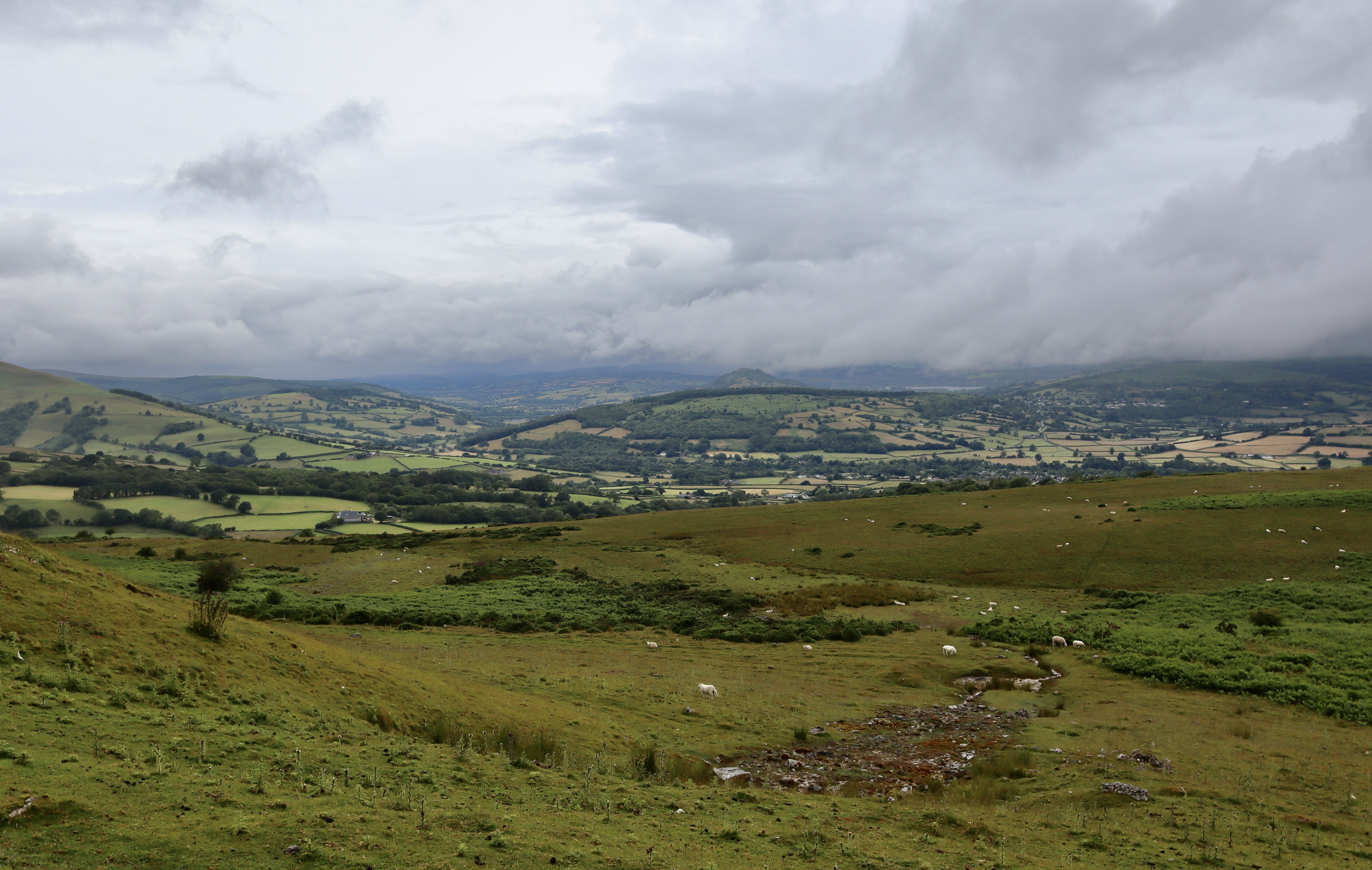
Parking up at the carpark next to the disused quarry of Blaen Onneu we are immediately hit by x2 things. The first, is how cold it was, which when combined with the wind and the rain gave a foreboding warning that this was to be a slightly uncomfortable walk. The feeling of reluctance that this brought was quickly over taking by “thing” number two – the view. Starting at this point, gives an amazing, wide ranging and enticing view over the Llangynidr Valley, with the Afon Crawnon snaking it way through, the shimmering glimmer from the Talybont Reservoir and the pyramid like peak of Tor y Foel overlooking it all.
Remotivated by the views, adding additional layers to the excited toddler, we began our hike. This is actually a fairly easy walk in terms of direction, which takes you over the Llangynidr moors, as the majority of walk is on well-trodden paths. However, there are areas where the path is less distinct or even non-existent at times (depending on the growth of the bracken and the frequency of use), so good navigation skills will likely be required, especially in poor weather.
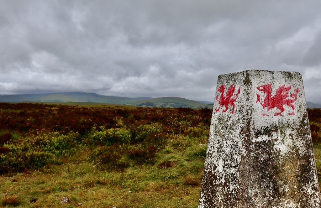
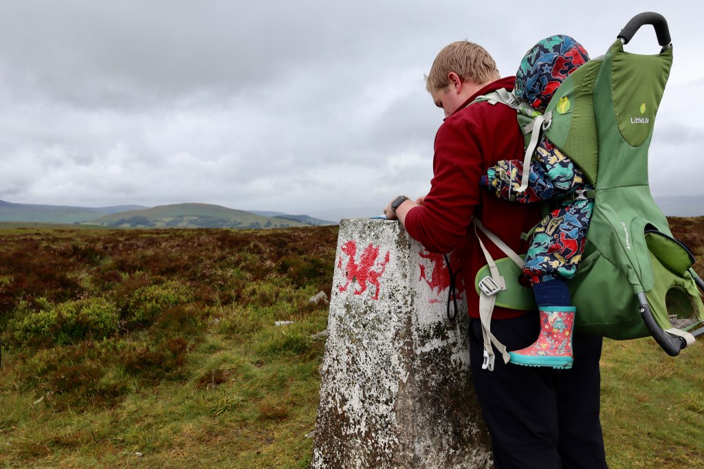
Llangynidr Moor Trig Point
From the carpark, we follow the well-trodden path to the west, keeping below the ridge line of the quarry, until we meet a conifer plantation. The plantation marks the point at which we start to gain height, as we turn southeast and again, follow a well-trodden track uphill. As the steepness of the track levels off, which occurs relatively quickly, it leads you in a south-westerly direction. It as this point, that the wild nature of the terrain in which were walking becomes apparent, with bracken, gorse and rocky underfoot conditions becoming more and more frequent.
As the steepness becomes less intense, multiple different tracks become apparent, trodden in over the years by animals and hikers that have taken slightly different approaches. The track you choose is not essential, as long as you head uphill for about 1kn, as the next point we are trying to reach is the Trig Point at 541 meters, at the top of Llangynidr moors.
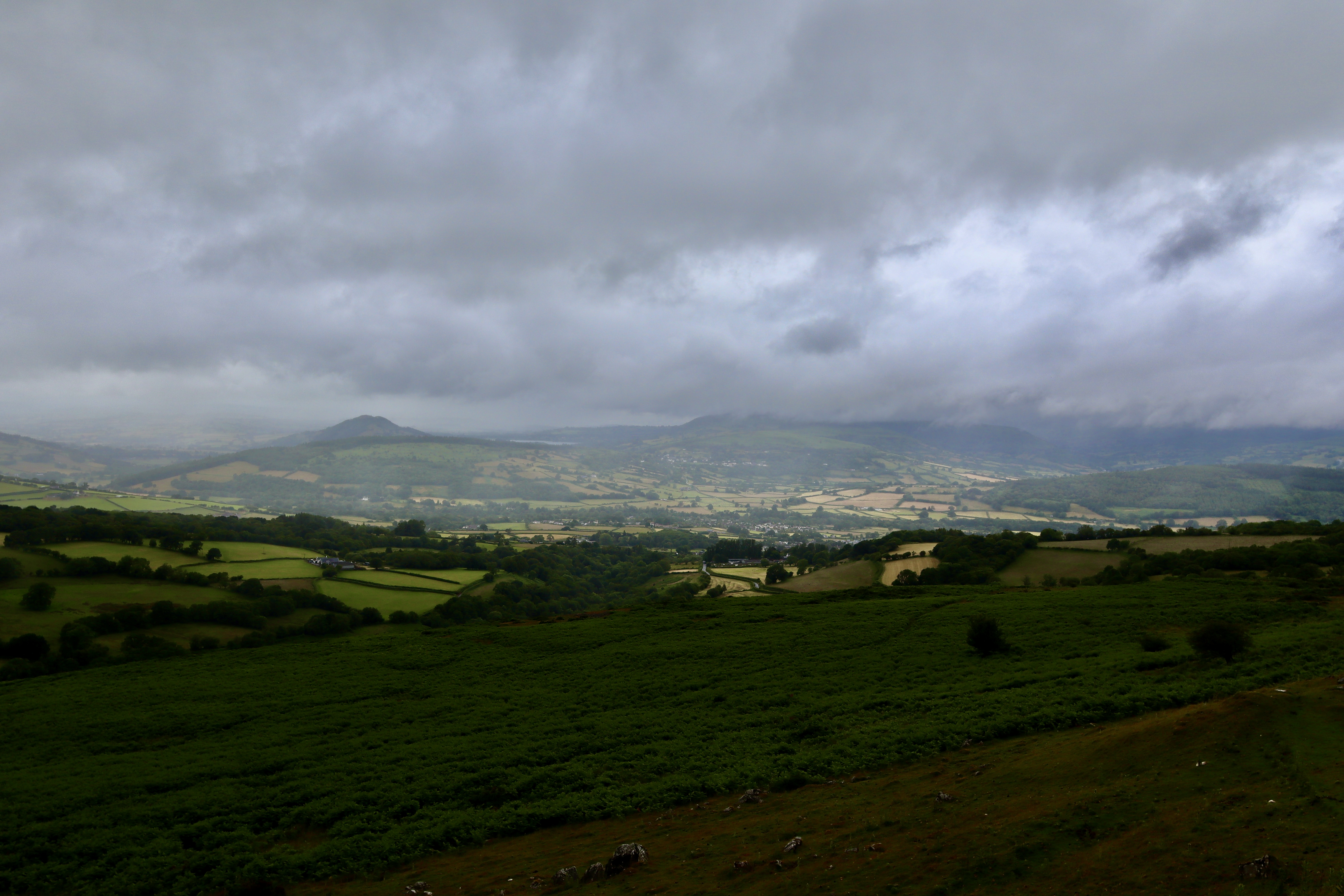
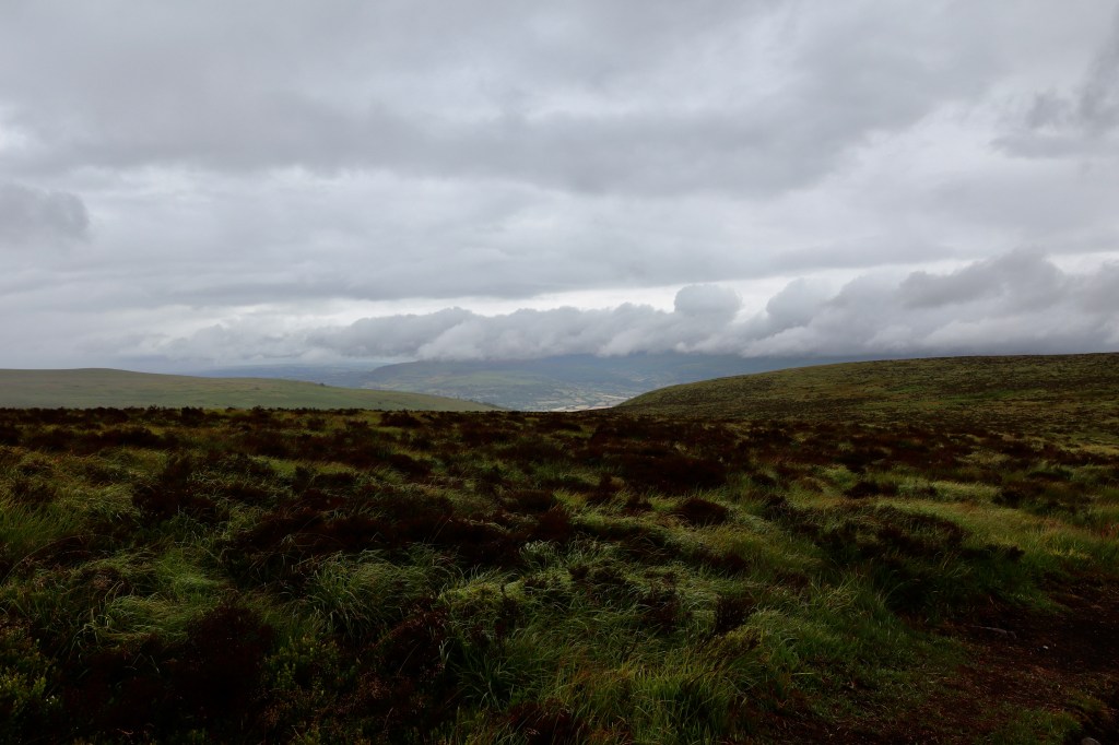
As to be expected from a trig point, the views from here are panoramic, giving a glimpse of the terrain in which we are about to enter. The Llangynidr Moors are wild, rolling and moody. With the drizzling rain and overcast skies, the terrain offers out a welcome to anyone who wants to walk in it, but only if they reflect the personality of the moors, and show resilience and a willingness to dig deep, struggle and fight hard to reach the end point.
Chartist Cave
At the Trig Point, and unmarked on the OS Map we are following, is a well-defined path heading west. Instinct tells us that this path will lead directly to the Chartist Cave (as there really is nothing else around for it to lead to), but not wanting to literally be lead down the wrong path, especially as I was guiding, I decided to list out the 6Ds of navigation.
- Direction – westerly (I can’t remember the actual bearing)
- Distance – 1.2km, Duration – 18(ish) minutes
- Description – undulating rolling terrain that falls steeply to our right and gently rises to our left
- Dangers – underfoot condition and lots and lots of shake holes
- Damn! I’ve gone too far – terrain follows steeply downhill
So, having worked out the above navigational requirements, we follow the aforementioned path and 18(ish) minutes later find the Chartist Cave.
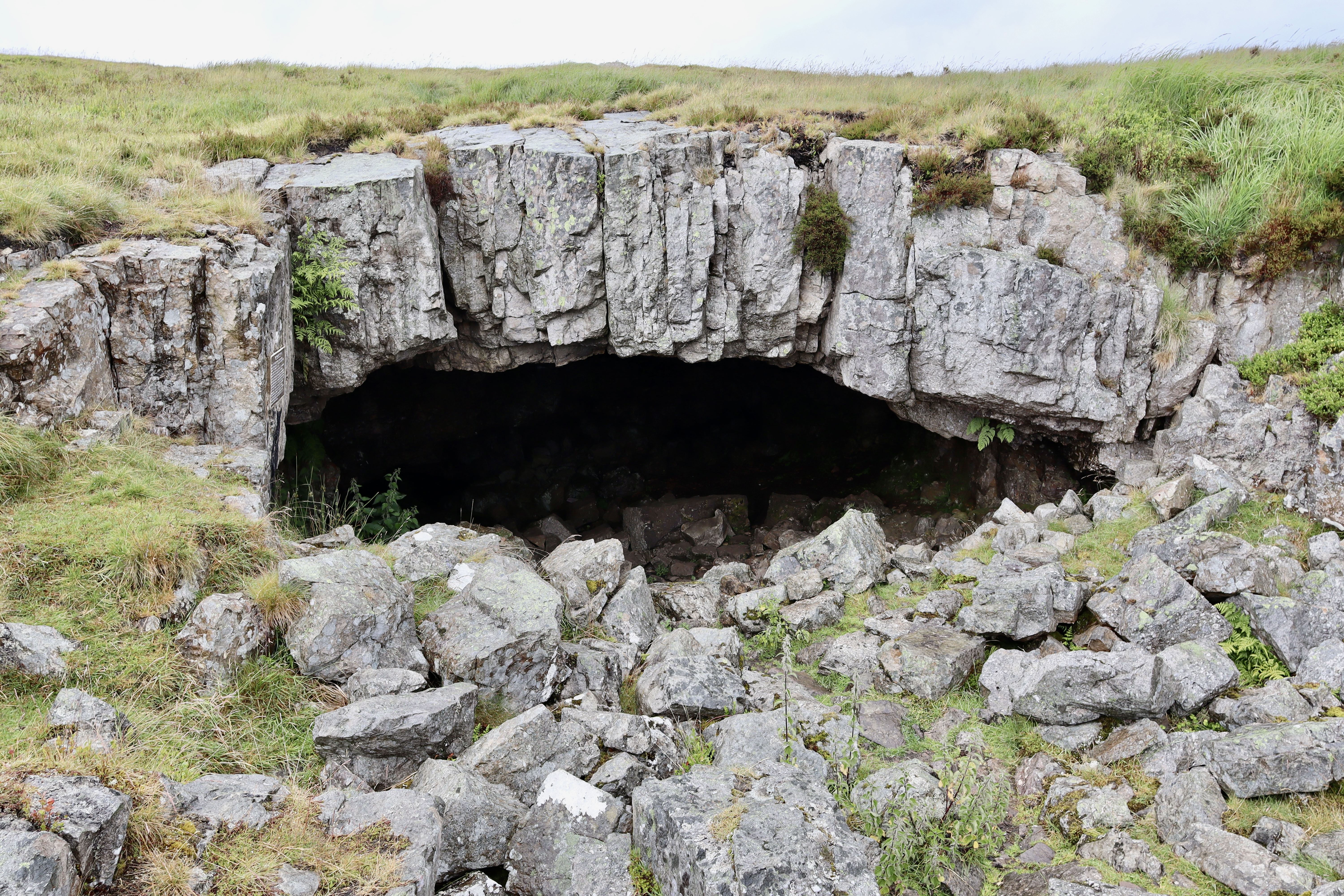
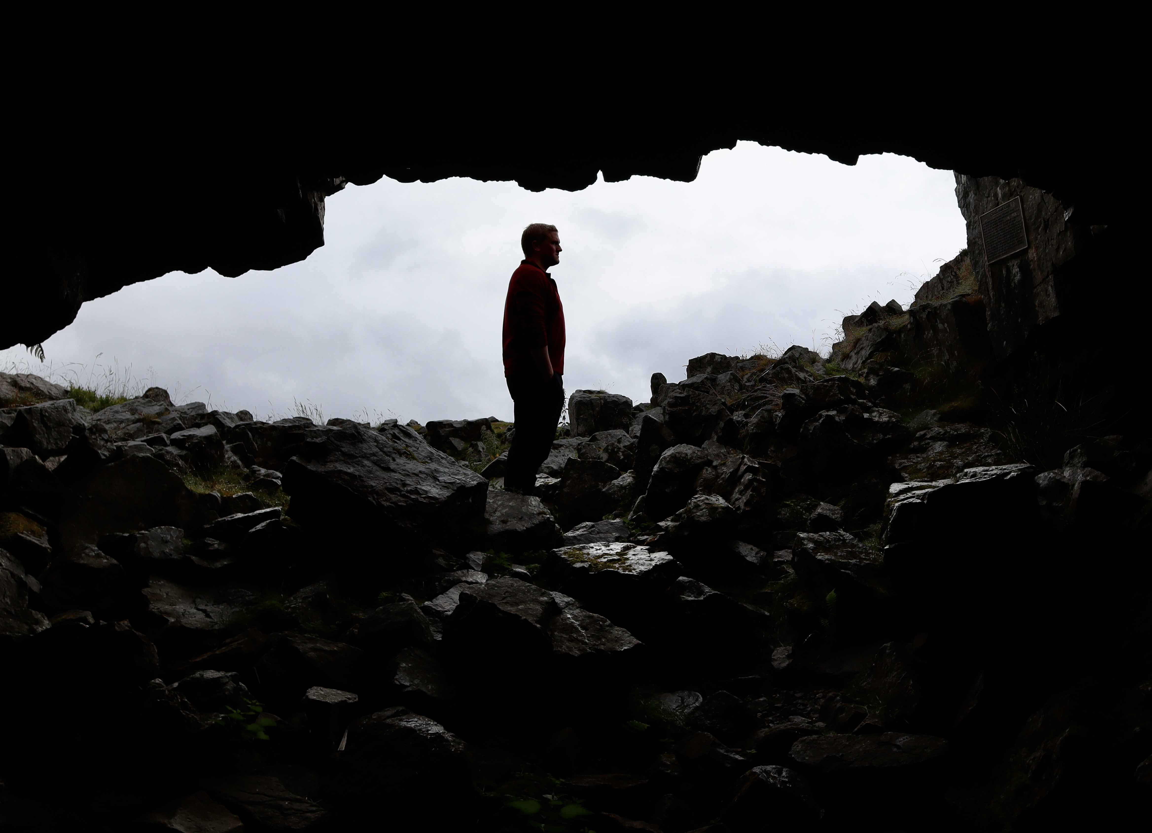
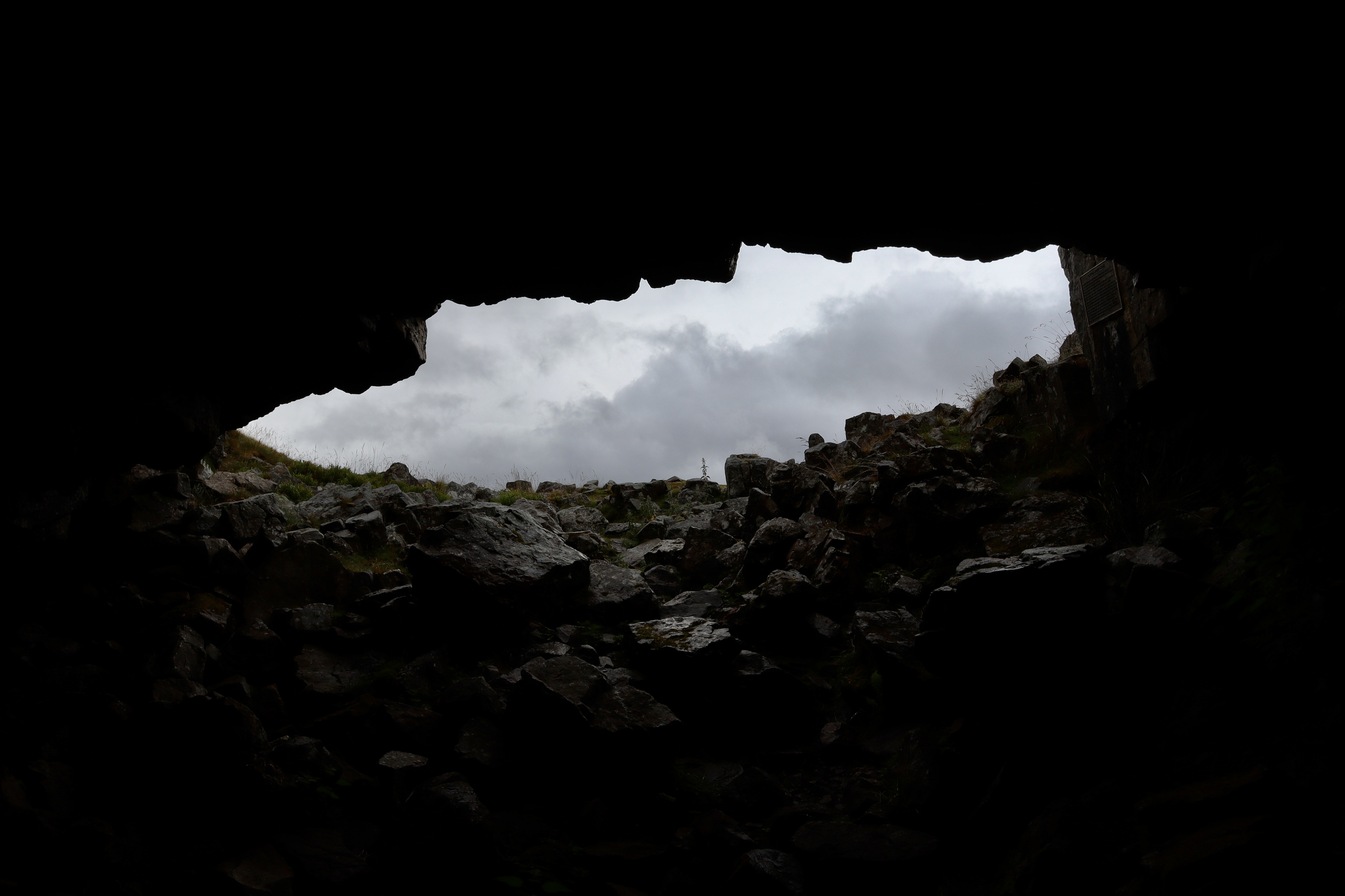
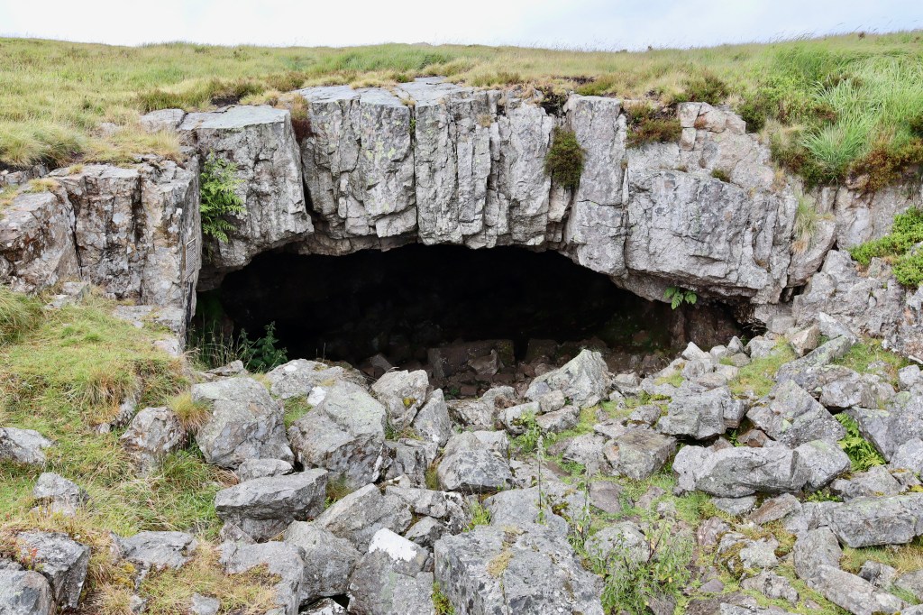
The Chartist Cave is culturally significant and history rich. It is nestled obscurely in at the end of a low outcrop, in the middle of the moor and it is the inaccessibility of the location, with its sheltered cover that made it the perfect location for the use for which it is now famous.
The Chartists, demanding democracy and better voting rights for all people, not just the rich, used the spot to store their weapons in advance of the march on Newport.
Chartism was a working-class movement demanding political reform which grew between 1838-1857. Taking their name from the People’s Charter of 1838, the movement, which called for six reforms to make the political system more democratic, had particular strongholds where the local economy depended on single industries, namely in the North of England, the East Midlands, the Potteries of Staffordshire, and the South Wales Valleys. The six reforms called for included:
- Voting rights for every man aged 21 or over, not undergoing punishment for a crime.
- To ballot in secret
- No property qualification for Members of Parliament
- Payment of Members of Parliament, enabling anyone, not just the rich, to leave or interrupt their livelihood to attend
- Equal constituencies, securing the same amount of representation for the same number of electors
- Annual elections, to counteract bribery and intimidation
Having had the People’s Charter rejected by parliament in 1838 followed shortly in July 1839 by the conviction of Chartist Henry Vincent for unlawful assembly and conspiracy, the Chartist movement planned an uprising.
On the 4th of November 1830, anywhere between 4,000 – 10,000 Chartist sympathisers, under the leadership of John Frost, marched on the town of Newport, in what is now known as the Newport Rising. Gathering at the Westgate Hotel, where many of the Chartists believed their fellows had been imprisoned, bloodshed followed and shots were fired. It is still not known who fired the first shot (Chartists or the soldiers that defended the hotel). After a fiercely fought battle which lasted over half an hour, 24 Chartists lost their lives in what remains the greatest armed clash between the British government and her citizens since the 19th century.
The cave itself, which has a commemorative plaque set into the left wall of the entrance, has two passages (one of which my daughter insists had a sleeping bear in it) leading from a large, sheltered entrance chamber. Please do not enter these passages, without the correct equipment, experience and fortitude.
The Return Journey
From the cave, there are a couple of options for a return journey:
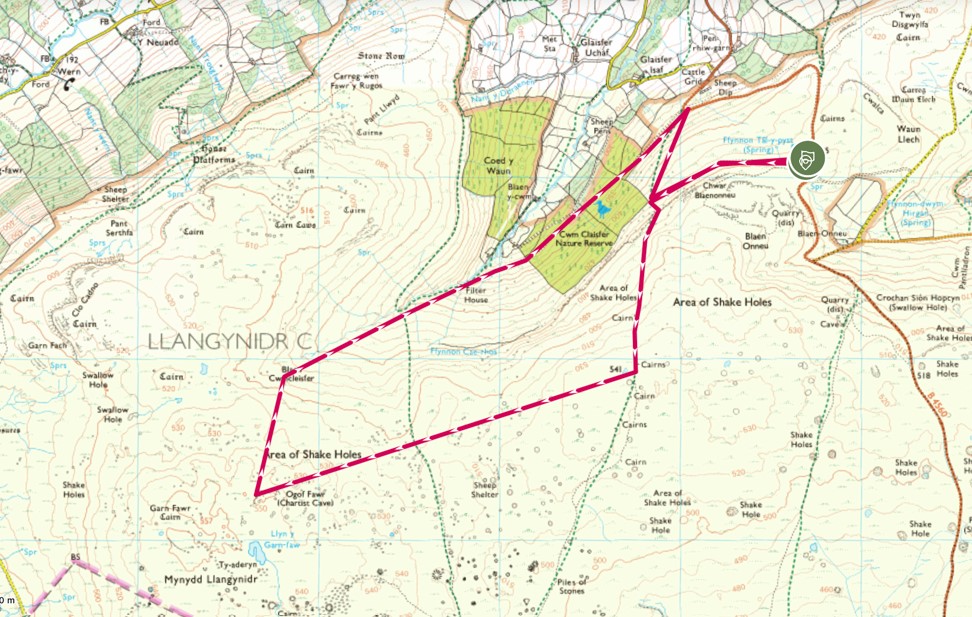
- On clear days, returning via the slopes of the Claisfer valley, and through the Cwm Claisfer nature reserve offers an enticing choice for those wanting panoramic views and a more testing hike. This is the route I ordinarily take and is the route I’ve marked out on the map below.
- A visit to Llyn y Garn Fawr, a shallow lake that nearly dries up in the rare sunny weather is well worth it and is about 300m south of the cave. From here, you can walk back across the wild of the moor, side stepping the numerous shake holes, in an eastward direction back to the carpark.
- On this day however, with the rain falling ever harder, the visibility fallen and the call of a pub meal getting louder, we decide to keep things simple and retrace our steps.
This walk offers up some of the best of the moorlands of Bannau Brycheiniog, combining it with history, perseverance and wild dreaming. It feels apt that we did this walk a few days after the UK’s 2024 general election, as the key focus point is a location that stored not just the weapons, but the hopes of those that dreamed of extending democracy beyond the rich and powerful.
| Difficulty | Distance | Navigation Required? |
| Moderate | 9km | Yes in poor visibility |
| Grid Reference | Safety | Footwear |
| Start/Finish – SO 156 170 | General Considerations Poor underfoot conditions Shake Holes | B1 |


Leave a comment