
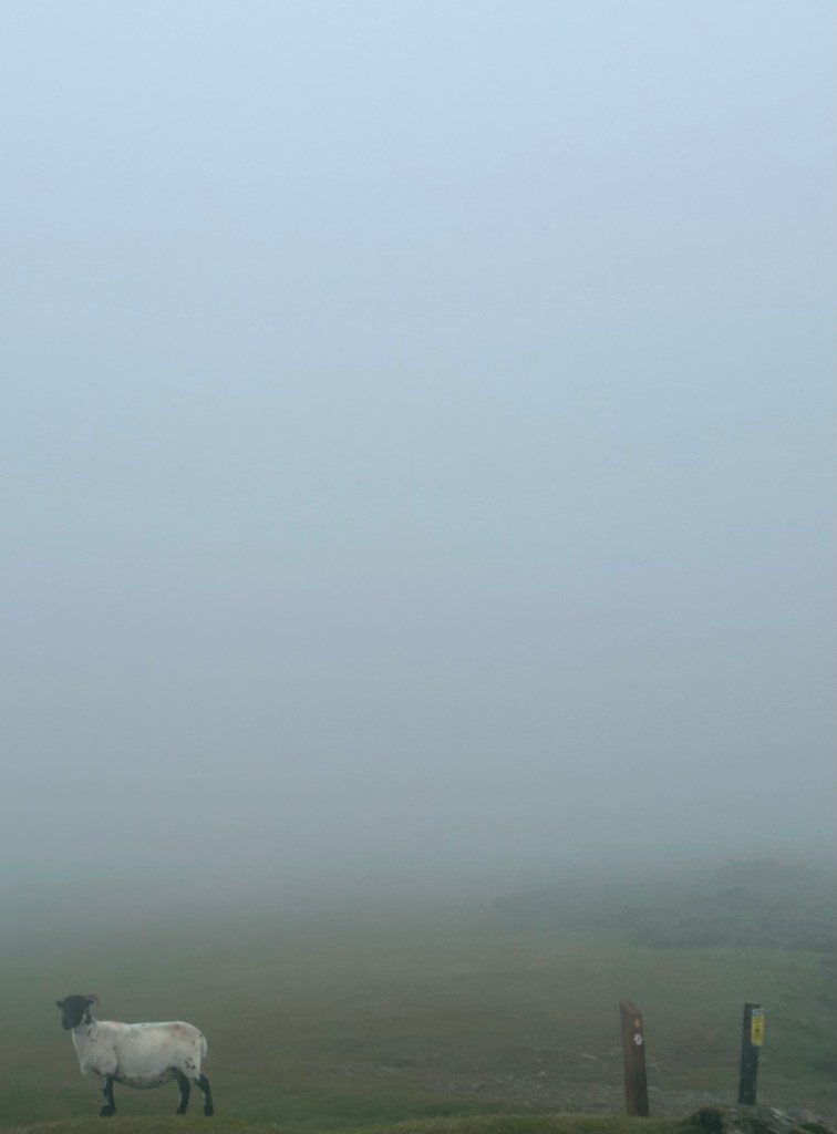
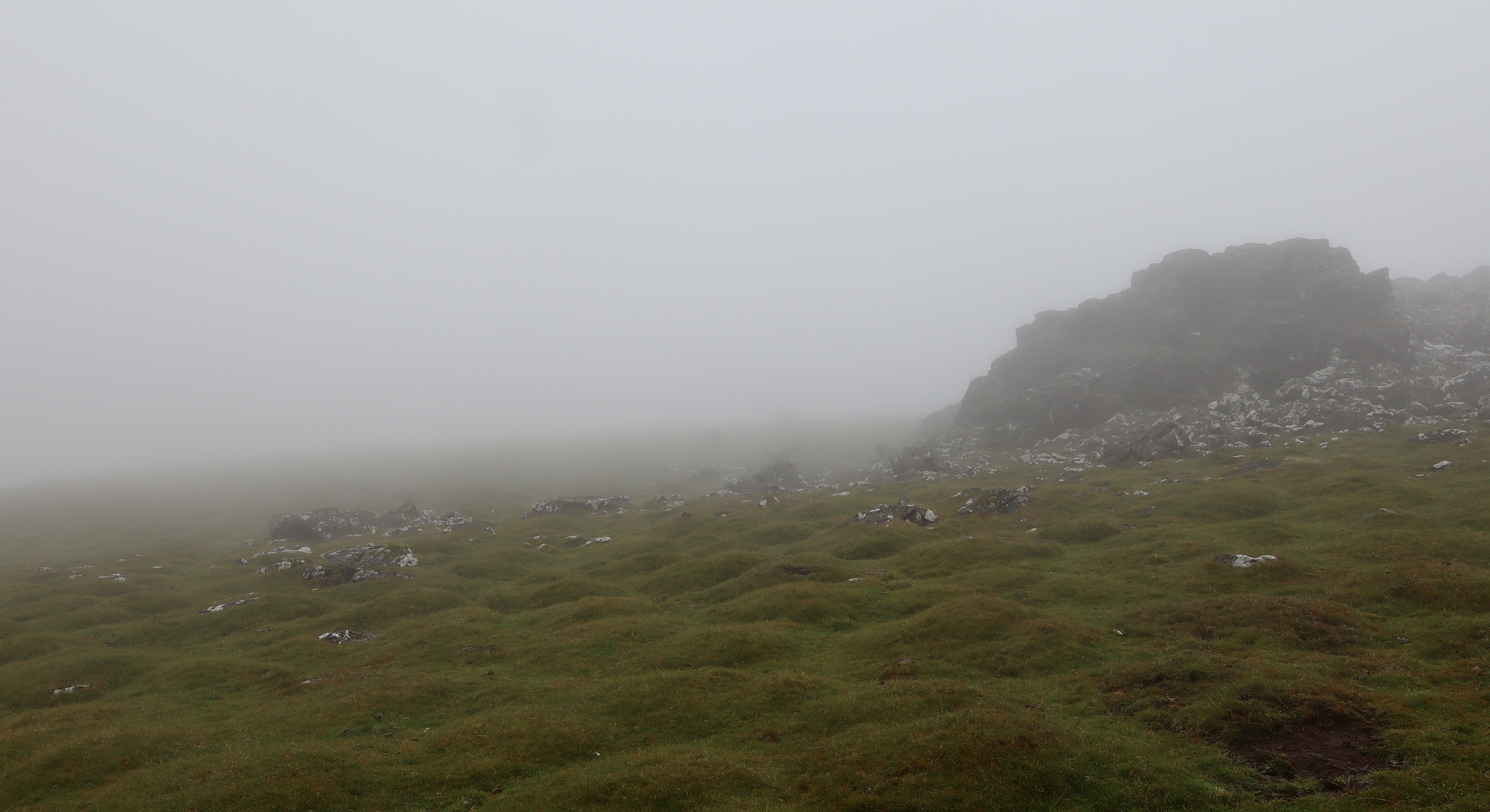
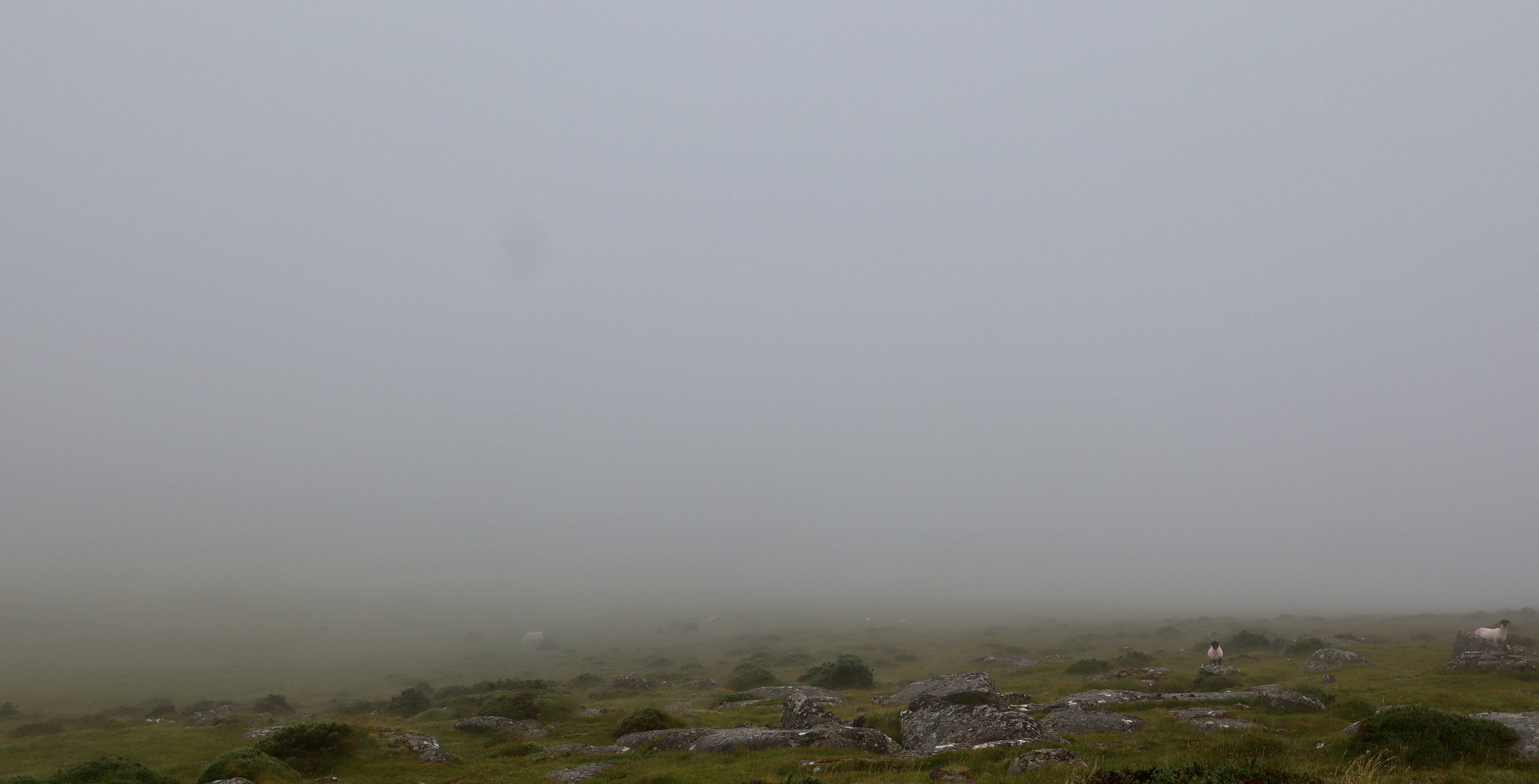
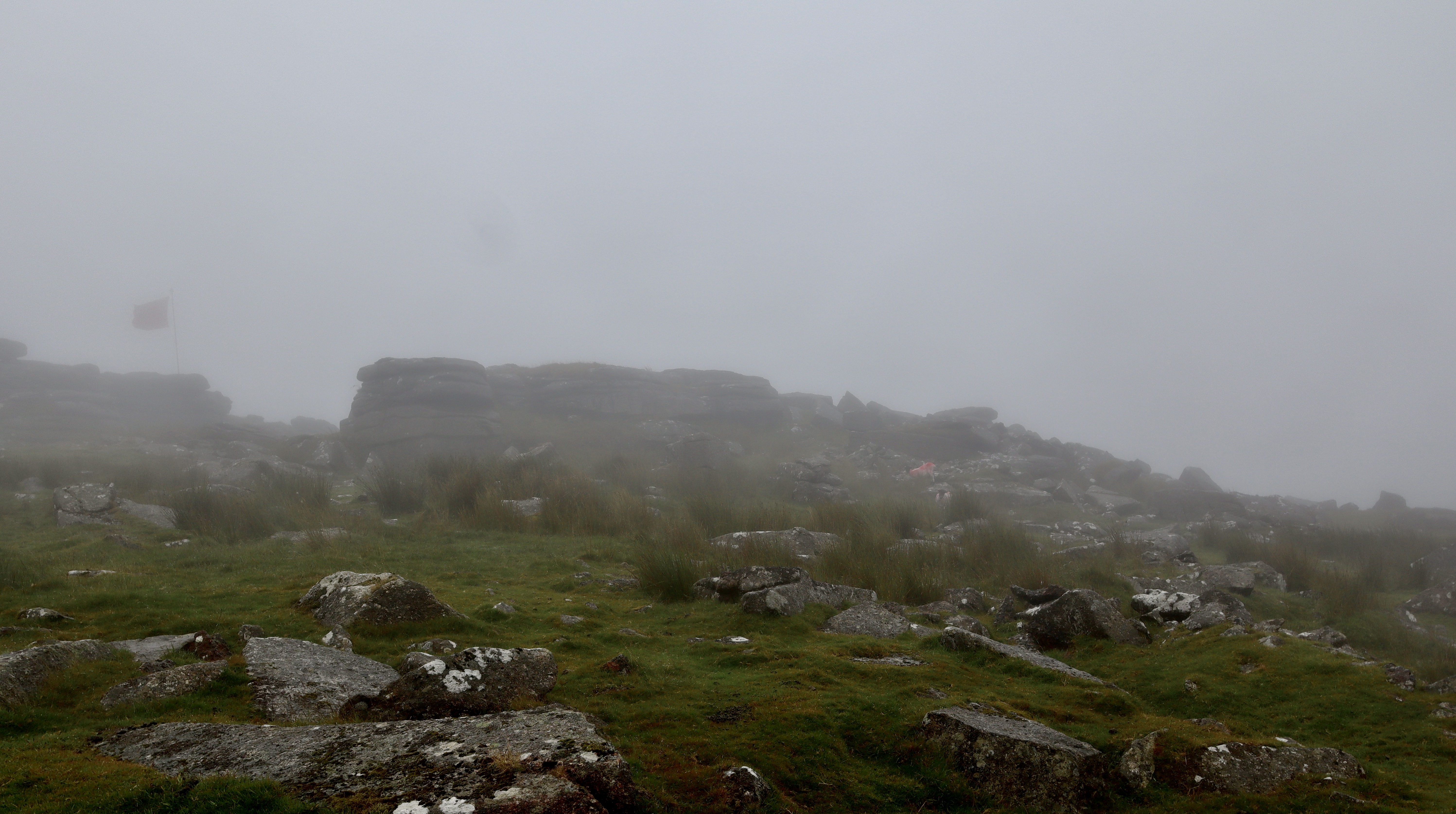
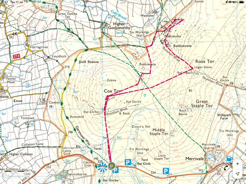
This walk starts out from the ever-brilliant Pork Hill Car Park, which I have raved about in a previous post. Starting from Pork Hill means that this walk customarily starts with ranging views over Tavistock and Plymouth, bookended by the River Tamar and Brentor Church, but not today. A heavy, swirling and rolling grey mist has come in, possibly conjured up by the evil Vixana (see my post here), maybe conjured up by the Dartmoor Piskies or potentially as a result of the airflows coming from the Atlantic Ocean (I’m sure my post on Dartmoor Mists will be able to shed some light). Whatever the origin of the mist, the result is the same and that is limiting visibility to about x10 meters. No matter, map and compass in hand I head northwards and uphill along the well-maintained track, to the top of Cox Tor.
Cox Tor
Cox Tor is a sprawling rocky outcrop that stands dominant in the northern portion of Whitchurch common, standing almost in opposition to the adjacent Pew Tor (see post here). Cox Tor is a popular location, with easy access from Pork Hill carpark, a well-maintained grassy track leading directly to the top and views across West Devon and East Cornwall.
I both love and hate the track that leads to the top of Cox Tor. I love it, because it provides an easy path to the top of Cox Tor and one of the best views you can get of Dartmoor, south Devon and Cornwall (on a clear day). I hate it, because it is sneaky, becoming deceptively steep after a gentle start and leading you to a false summit just when the steepness feels a bit domineering, as the top of Cox Tor is actually 100m further on from this false dawn, marked by a Trig Point.
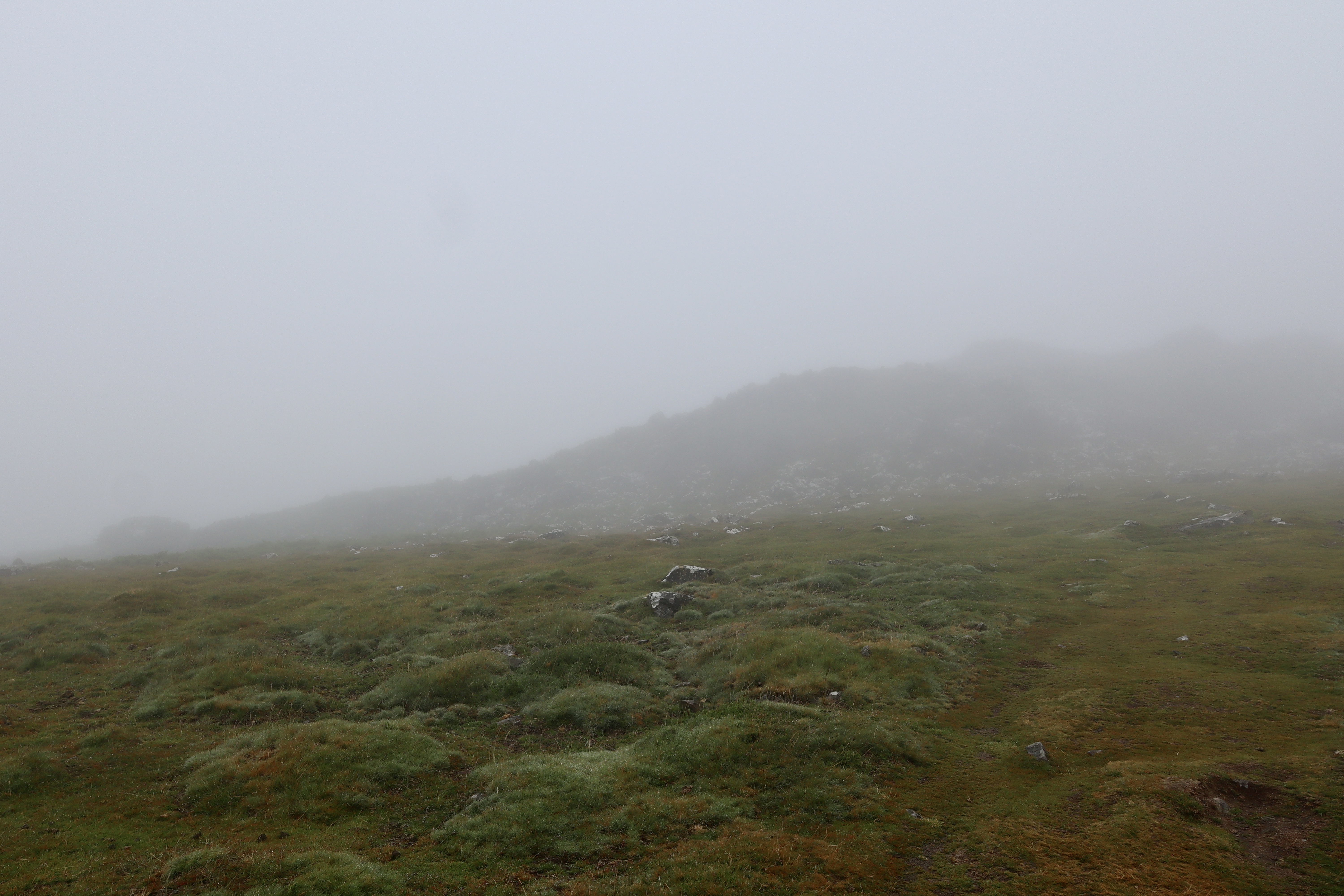

Having conquered my grassy, false summitting foe, I reach the Trig point that tops Cox Tor. Ordinarily at this point I would be exclaiming the views available from the top of Cox Tor, probably talking about the panoramic views that show of the best of Dartmoor, mixing the dominating peaks of the surrounding Tors, with the grassy carpet that ripples in the summer breeze like a wave, all whilst holding the views over South Devon, Plymouth Hoe, Bodmin Moor and Cornwall in reserve, to reward your perseverance with the view searching. Today however, that isn’t possible as the mist is shrouding all but the few metres in front of me.

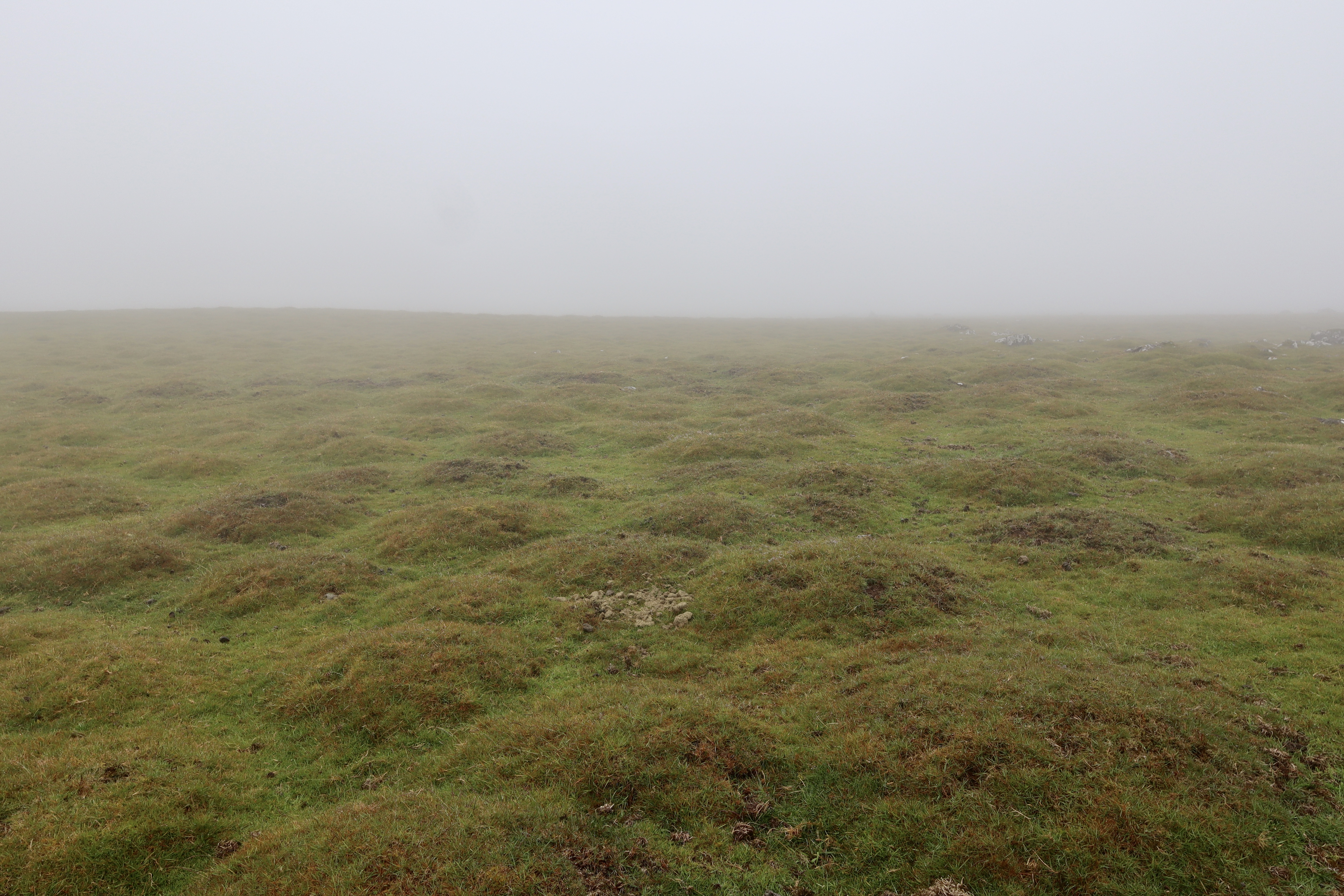
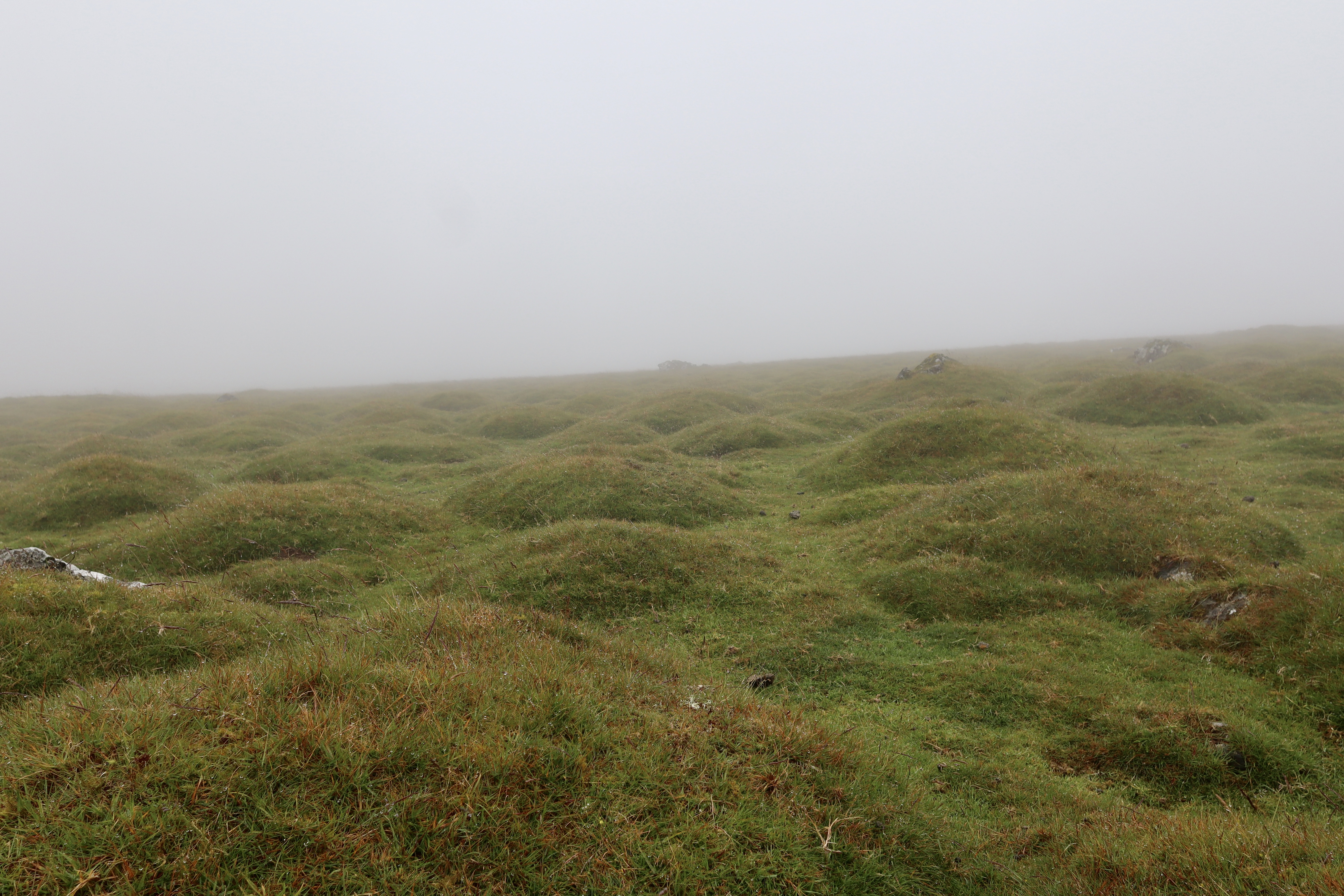
Thufurs
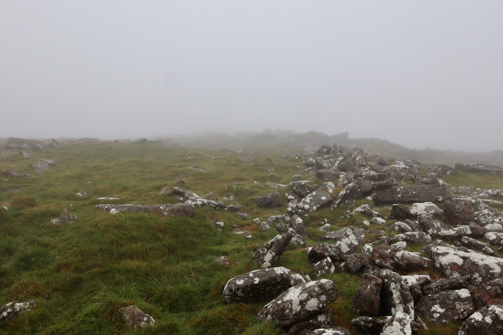
All around Cox Tor are little bumpy mounds of grass. These grassy hummocks are called thufurs, and can be found in a few locations across Dartmoor, but the most extensive and best examples are found on the slopes of Cox Tor. Thufurs give an interesting nod to the geological features that create the moor. Thufurs are of preglacial origin. That is to say they are found on the edges of where glaciers reached during the last ice age, areas that were subject to seasonal freezing and thawing.
Thufurs are the result of Cryoturbation, a process that sees the mixing of soils by the ongoing freezing and thawing of ground ice. As the water in the patch of soil freezes, it freezes the surrounding soil. This subsequently causes migration of unfrozen water, towards the frozen site, which in turn causes a small-scale displacement of soil. This process, known as Frost heaving, leads to the development of a small mound, and as the freeze/thaw processes recur many times, this displacement is amplified into the Thufurs we see today.
Settlement at SX 535 764
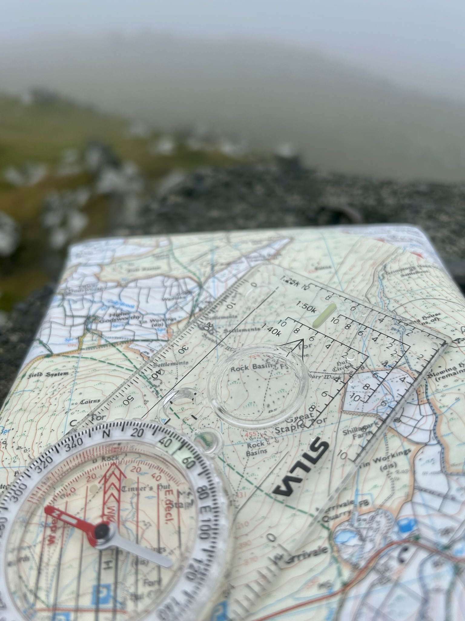
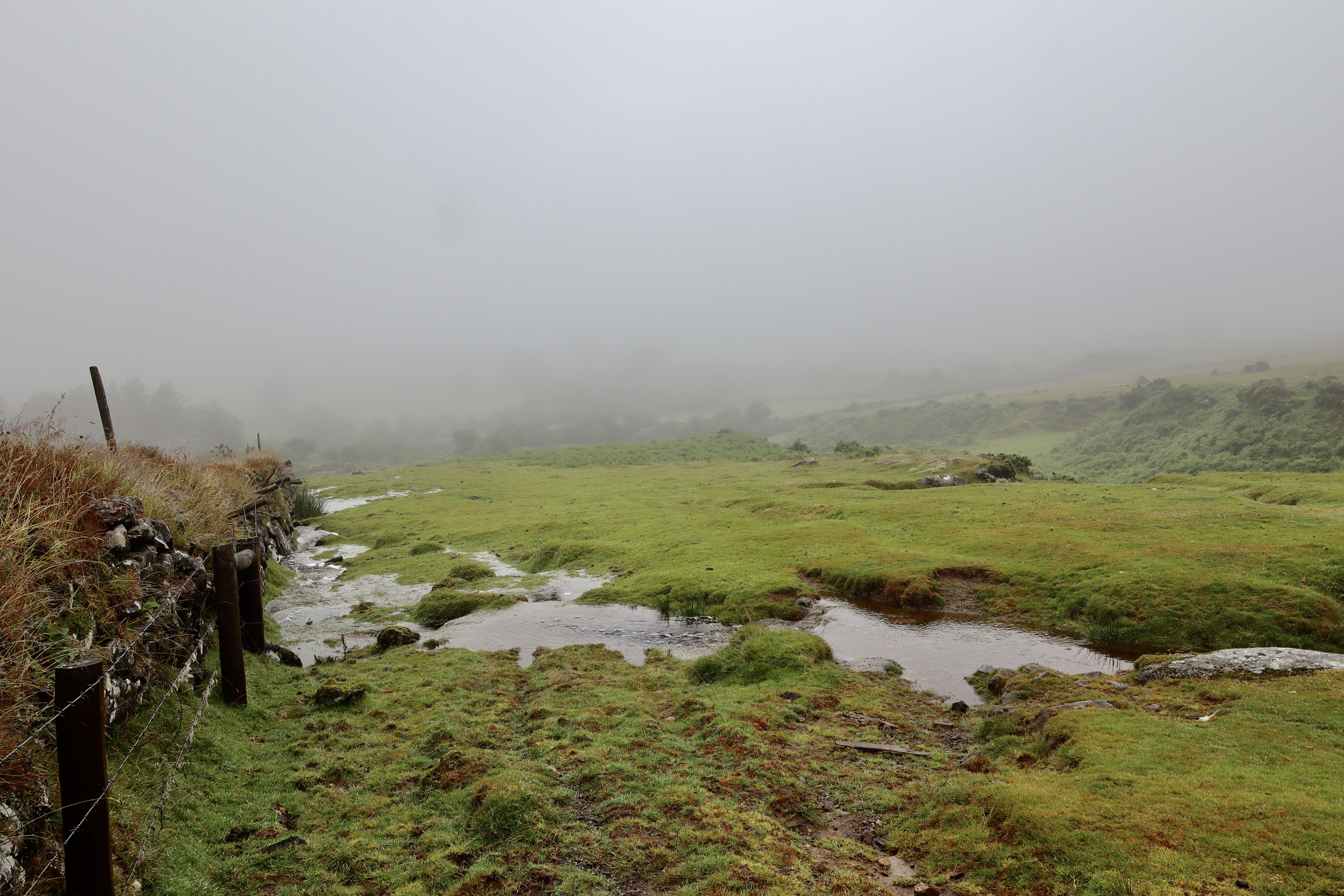
Walking in the heavy mist along a well-maintained path is one thing, walking across the wild moors to our next location with minimal visibility is another and demonstrates how being able to navigate on the moors is a key skill for anyone hiking off paths. The trig point at the top of Cox Tor provides the perfect locator from which to take a bearing to my next stop, a settlement in the valley between Roos Tor and Cox tor.
This settlement, the first of two I will visit on this walk and can be easily found on both the OS Map (SX 535 764) and when walking. The stone circles, which represent the base of the shelters that once stood, are remarkably clear and well defined, clustered together in an orderly fashion, flowing down the northeastern slope of Cox Tor.
Whilst there are a number of records of this settlement, most record the details of the huts (e.g. size and location) and none have any information about the purpose of it, or individuals who used it and so, as happens so often on Dartmoor, these are left to my imagination. Standing in any ancient settlement always links you to the last and for me anyway, leads to imaginings of what life was like. Standing there in the driving wind and rain, shrouded by mist and unable to see what is going on around really does show the hardship that the moor folk went through.
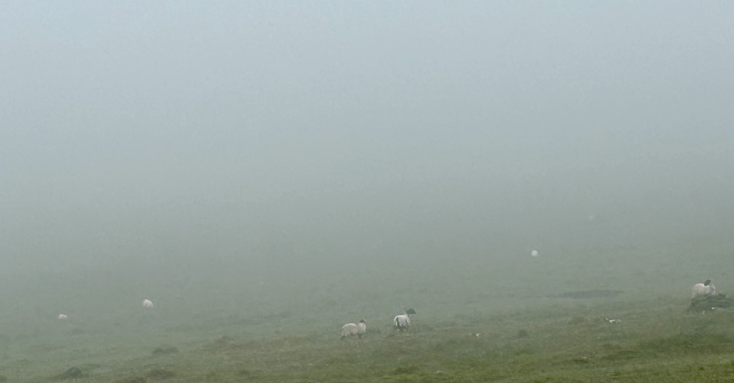
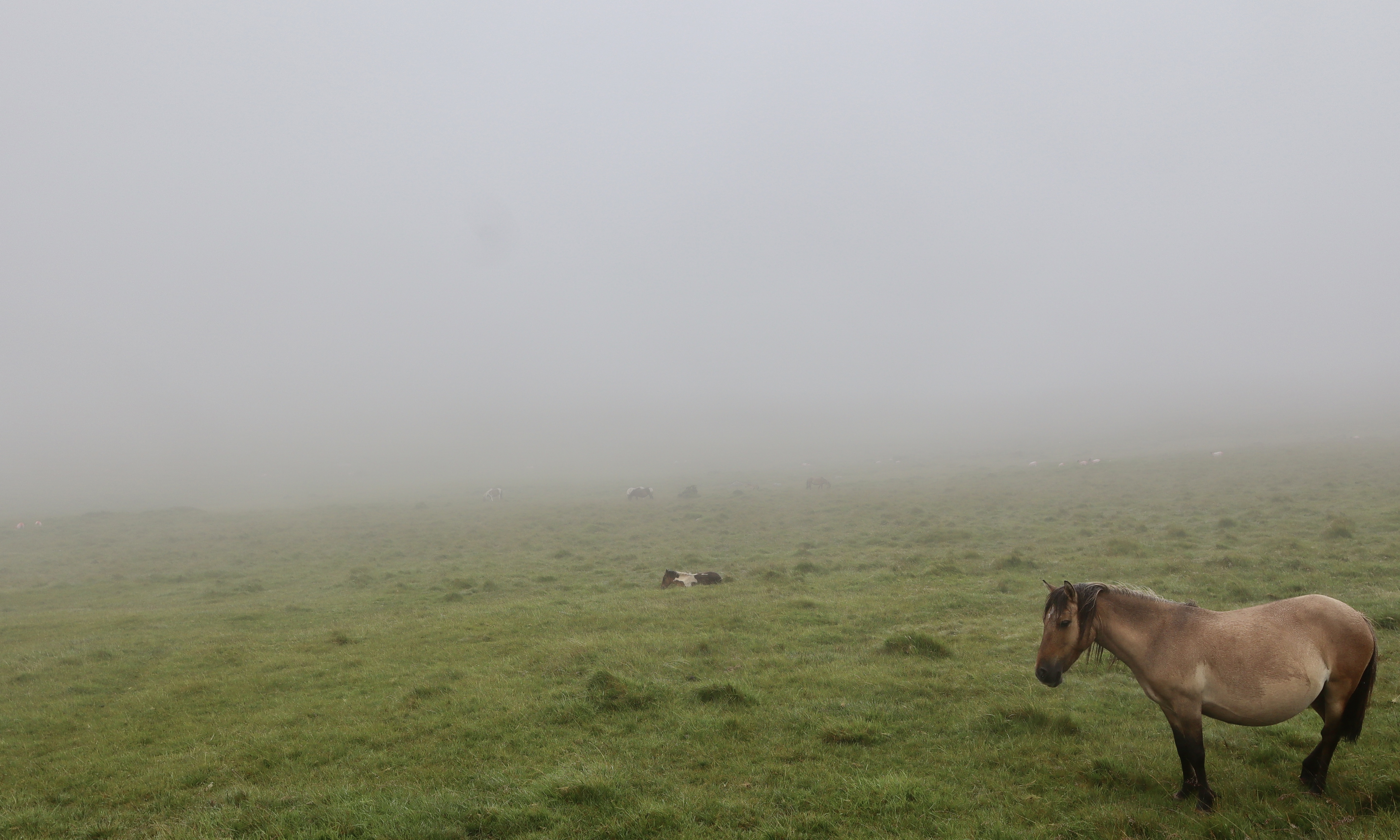
Again, with visibility as poor as it is, I take a compass bearing from the settlement and with this, continue north westerly down a gentle slope to my next stop. Whilst the mist does limit views, what it does do is add a drama and mystery to a walk and as I make my way from the settlement to my next stop, squelching through the ground water rushing across the water drenched ground. The shapes of trees, sheep and Dartmoor ponies slowly emerge from the mist, at first as fuzzy shadows, then clear silhouettes before their true nature is finally revealed. It is like watching a grand play build its way up to a dramatic climax.

Settlement at SX 540 772
Having made my way onto a clear path, I follow this to a gate that leads into fields, accompanied by the bleating of sheep that are hidden off in the distance. Without entering into the fields, I turn to the west and come into my second settlement of the day. This one shows on the OS map as being much grander than the first with a jumble of black circles representing the homes and shelters of human and their livestock from the ancient past.
On entering the settlement, which is on the western facing slopes of Roos Tor, the sprawling size of this site is clear. This settlement, which has never been excavated, is one of the largest on Dartmoor with over x70 huts to be found. On first entering the settlement, the sheer size and collection of stones is muddling and at first, the shelters are much less clear than the previous settlement. Really, for the most part, my initial impression is that it is just a tumble of rocks. However, every few steps or so the clear outline of the impressive building structures of the ancient neighbourhood emerge and truly, when you have discerned the pattern of houses from the surrounding noise, it is clear how spectacular this site is.
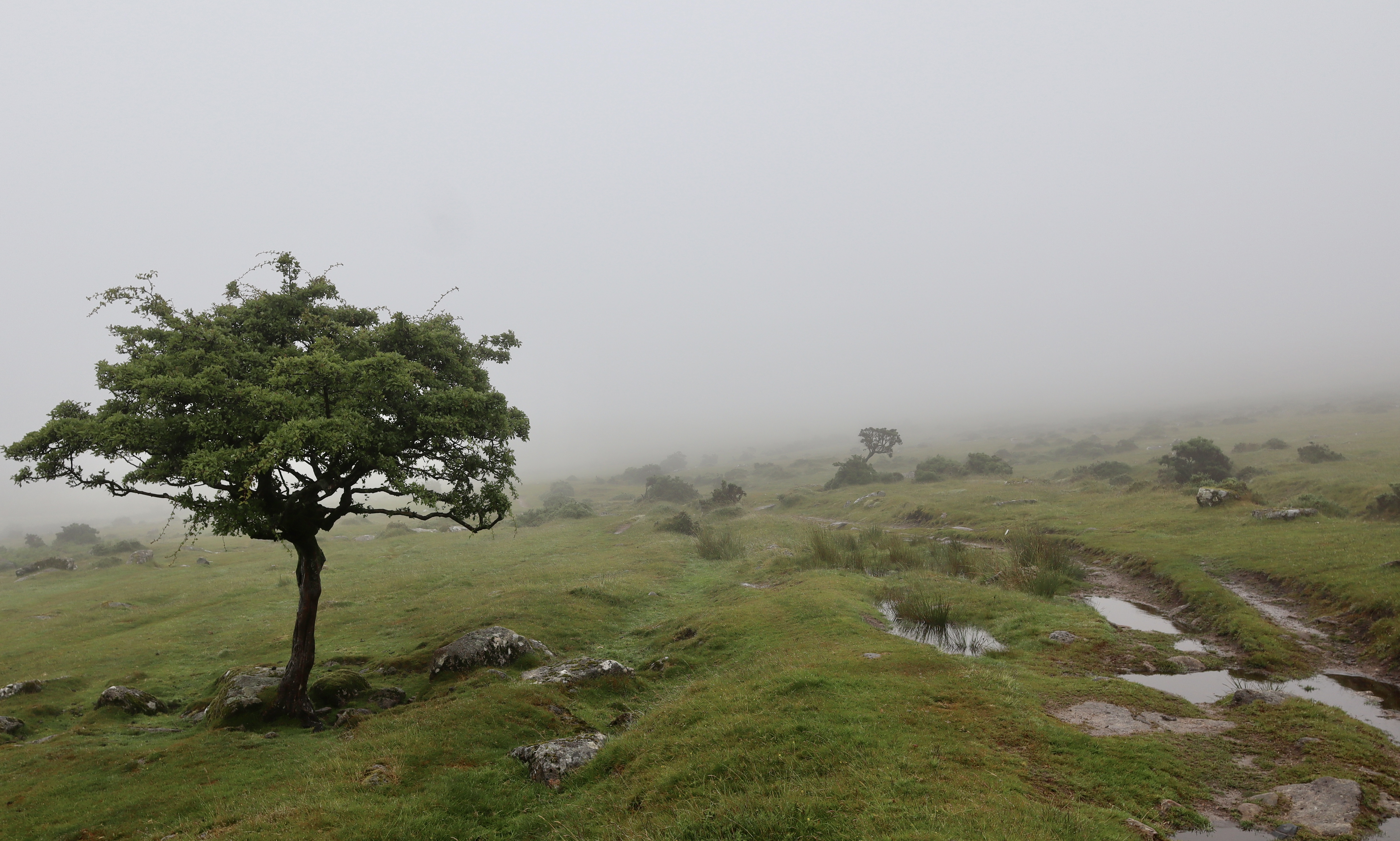
Having spent a good few minutes walking amongst the shelters, and entering through a number of the old doorways which remain remarkably clear, having once again found myself reflecting on the lives of our distant ancestors, I turn to the southeast hand railing the ancient boundary works, and begin walking up hill, to my next stop, Roos Tor. The walk up is relatively steep and I always think that walking uphill in thick mist is harder than when it is clear, presumably because of the lack of any visible end point, but that makes the climb all the more rewarding.
Roos Tor
As I climb, the top of the Roos Tor slowly fights its way through the mist and offers up a resting point, alongside a Logan stone.
Logan Stones can be found through the Dartmoor landscape, with the dartefacts website (https://dartefacts.co.uk/) recording x66 of them. Logan Stones, sometimes known as the more descriptive rocking stones, are large stones that have been weathered over the years, so that a pivot emerged between the bottom and large top stone. As a result, the top stone can be “logged” (which is a Devonshire word for rocked) with minimal effort.
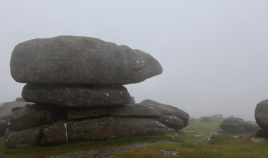
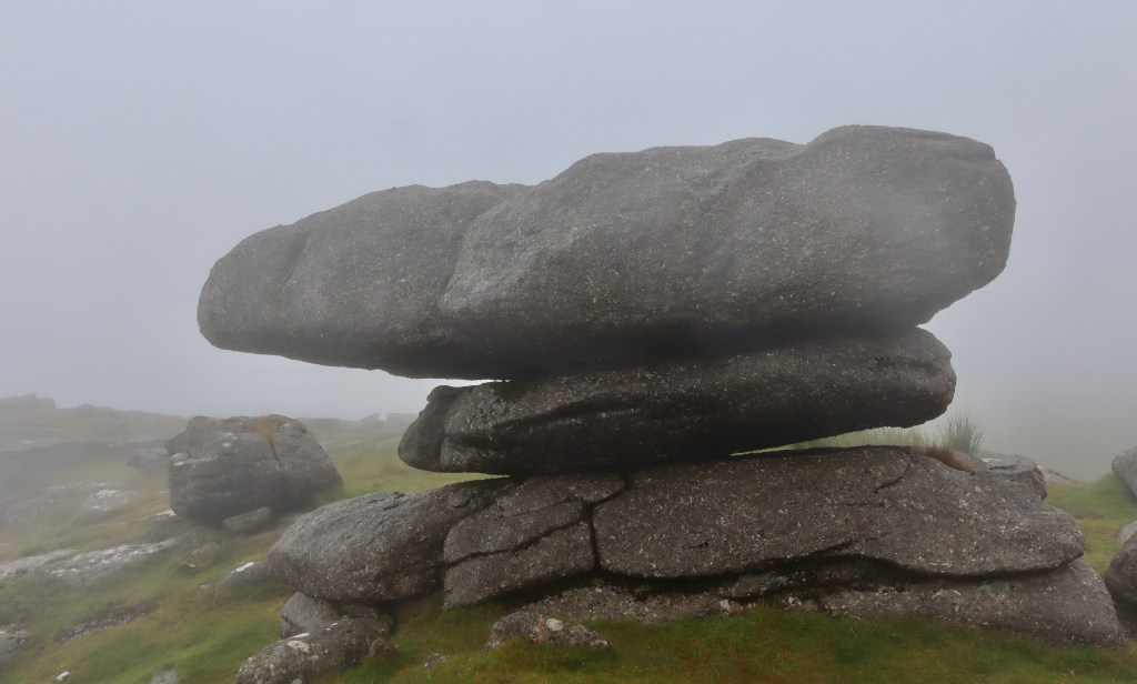
Sadly, over the years, the majority of the Dartmoor logan stones have lost their ability to be rocked. However, in the not-so-distant past, the more famous of the Dartmoor logan stones (for example the Hanging stone, the Rugglestone and the Nutcrackers) became popular visitor destinations for those who had an inkling to see a “mythical rock.” There are even reports of individuals taking nuts to the sites, with the hopes of using a logan stone to crack them open, in a most Victorian pastime.
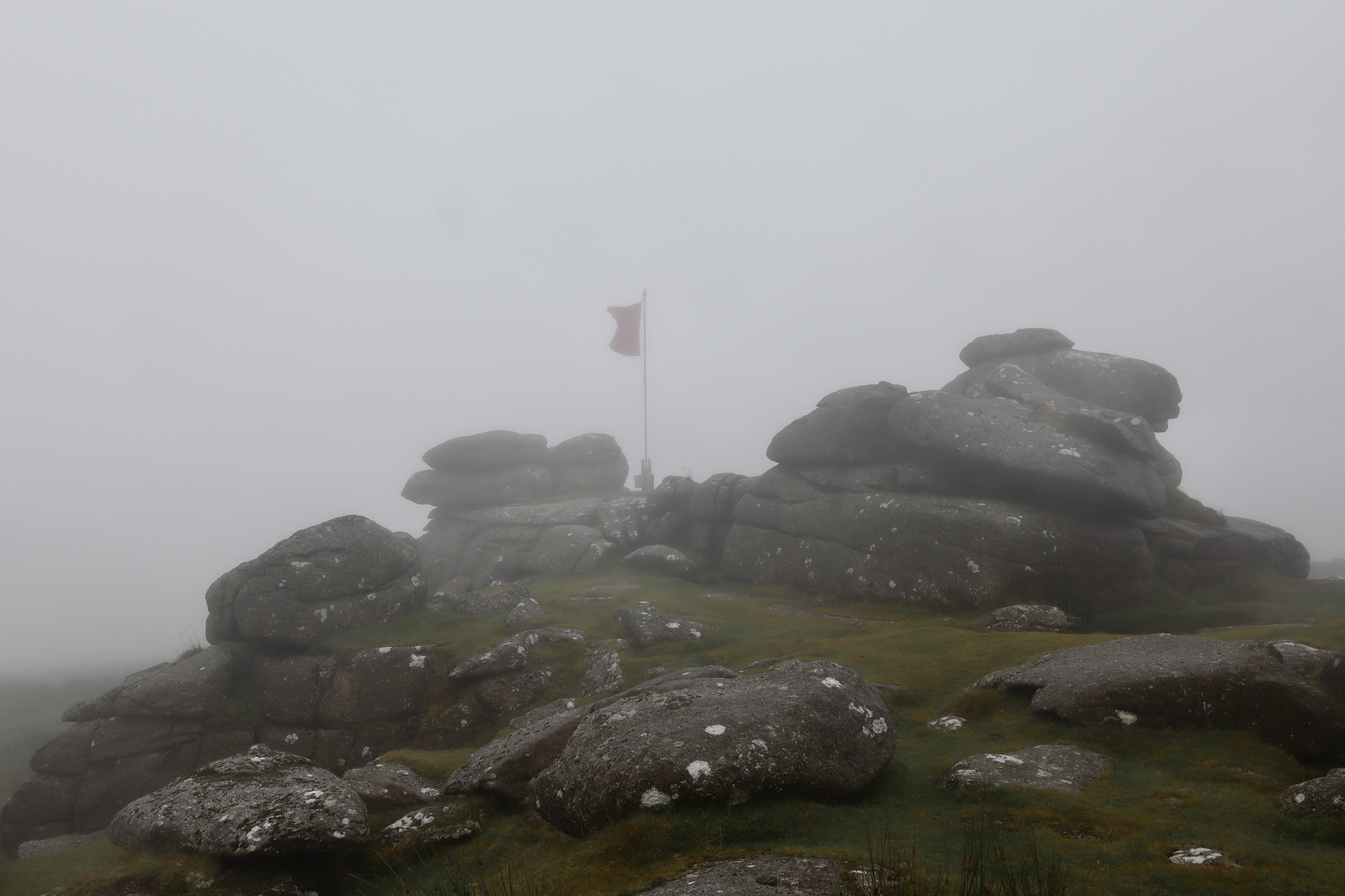
Roos Tor stands individually, the odd one out in a line made up by the Staple Tors (little, middle and great) and the far-off Lynch Tor. Similarly, it breaks the mould, standing just off the plumbline between Cox Tor and Great Mis Tor. In this way, Roos Tor is a bit like a moody teenager, trying to break free from the clutches of their parents, whilst staying close to the safety they offer, and much like a moody teenager, Roos Tor feels like it is often overlooked for those around it. The reality however is that Roos Tor is a spectacular spot all on its own. Ordinarily, it offers panoramic views across Dartmoor, with White Tor and Tavy Cleave to the North, Beardown Tors, Great Mis Tor and the River Walkham to the East, the ever-popular twin stacks of Great Staple Tor to the south and finally, to the west Cox Tor and the River Tavy. Roos Tor has its own calling card though as on its top is not just the aforementioned logan stone, but the Tor is also acts as the site for the warning flag (which was flying on my visit – for dartmoor firing times visit https://www.gov.uk/government/publications/dartmoor-firing-programme) for the near-by Merrivale firing range and as such, on many an occasion the eye of a Dartmoor hiker, driver and visitor is drawn to Roos Tor, even if unknowingly.
Roos Tor has suffered over the years, as it was a popular location for stone cutters to claim their prize. Sabine Baring-Gould, the famed Dartmoor folklorist, archaeologist, novelist and priest wrote of Roos Tor “Roos Tor, which the Ordnance surveyors playfully render Rolls Tor, possessed two logan stones, but quarrymen have destroyed one, together with the fine mass of rock on which it stood. Near it lay a huge menhir, never removed till these depredators broke it up. I give an illustration of the head of the tor with its two logans, taken in 1852; one alone remains.” As a result, there are many boundary stones surrounding Roos Tor that were used to prevent stone cutters taking the granite.
Heading Home
From the top of Roos tor, I head west, again on a bearing, to return to the trig point at the top of Cox Tor and from here head back to the car. For many people, a walk like this serves little purpose, with minimal views and difficulty on the journey. For me, this is what hiking in Dartmoor is all about. Passing by geological and historical features whilst summitting a few tors all in the cover of the thick Dartmoor mist, which hides you from view in a comforting isolation, whilst dampening the noises around. Walks like this show off the romantic mystery that Dartmoor conjures up and gives context and understanding to the stories which it births. Adding to that the mental challenge of the navigation and whilst yes it was short, and yes it was wet, it was an absolutely brilliant day.
| Difficulty | Distance | Navigation Required? |
| Moderate | 7km | Yes – even when not misty, good navigation will help getting to the features |
| Grid Reference | Safety | Footwear |
| Start/Finish – SX 531 751 | Steep Ground Variable underfoot conditions Pass close to a firing range Road crossing General Dartmoor Considerations | B1 |


Leave a comment