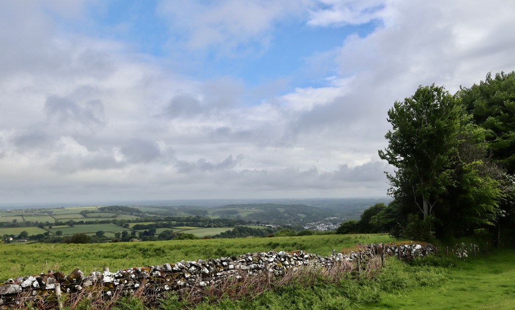
Sometimes, you want to head outside but you also don’t. The urge to get the benefits of the walk is strong, but the motivation to actually do anything that requires effort isn’t there. On these occasions, having a simple circular walk that feels long enough to give benefit, but doesn’t require too much physical or mental effort, is needed. This is exactly what this walk is for me. It takes in much of what makes Dartmoor special – history and mystery combined with untamed moorland alongside managed farmsteads, providing serenity and solitude whilst overlooking beautiful views for miles around.
I pack my camera and a bit of water, and head to Okehampton station which acts as the start of this walk. From the station, follow the granite way and turn off at the railway bridge. From the bridge, follow the road as if you were heading to the Okehampton Army Camp but take a right hand after about 200m – immediately after the bridge over the A30. You will come onto a road that leads to the YHA Okehamtpon Bracken Tor, but on the right, just before the hostel, you will see a gate leading onto a muddy lane.
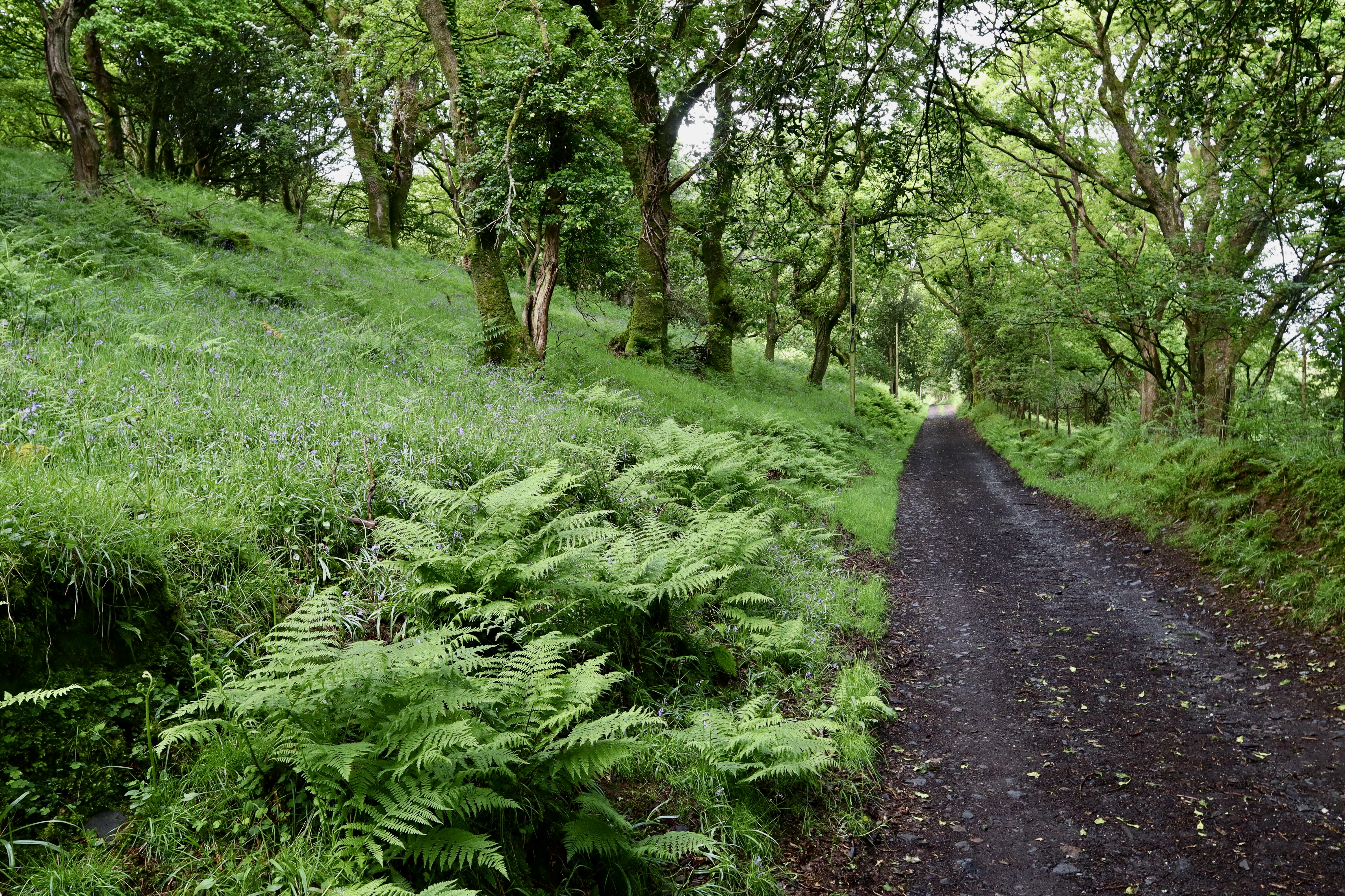
I take this lane, marvelling at the bluebells – it’s a bit late in the season for them, they do look a little tired having worked hard over the preceding weeks providing early nectar for bees, butterflies and hoverflies, providing photo opportunities for budding photographers and by providing a 2-week period of absolute splendour. The bluebells are joined by red campions, primrose, early foxgloves and ferns bordering the path. All these are indicator species of ancient woodlands, and this prompts me to look a little bit harder. I have recently read the brilliant Guy Shrubsole book “Lost Rainforests of Britain” (which I highly recommend) and as I walk along reflecting on these indicator species, I start to notice the mosses and lichen covering the oaks and hazels (epiphytes), and realise that in the not-so-distant past, this spot was probably a flourishing temperate rainforest. So, whilst the spot truly is beautiful, there is also a sense of loss, delivered through the activities of humans.
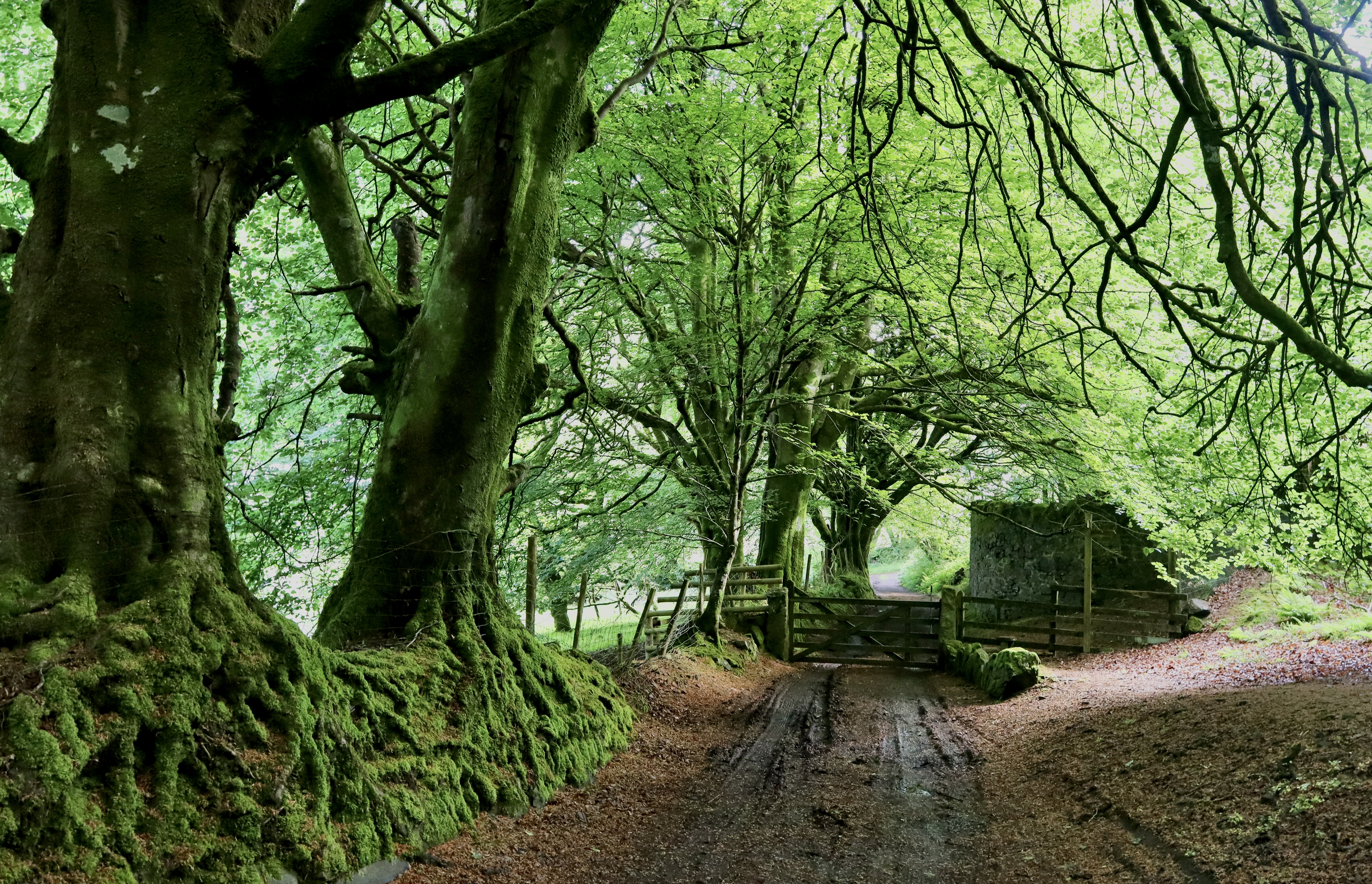
Continuing along this path, for about 800m up the gentle hill, you eventually come through another gate. Once you battle through the mud, you have earned the prize that sits on the other side. Walking underneath the overhanging Beech branches, which create a sheltered corridor for about 50m, you come to a site called “Saxongate”, marked on the OS map as the site of a medieval settle.
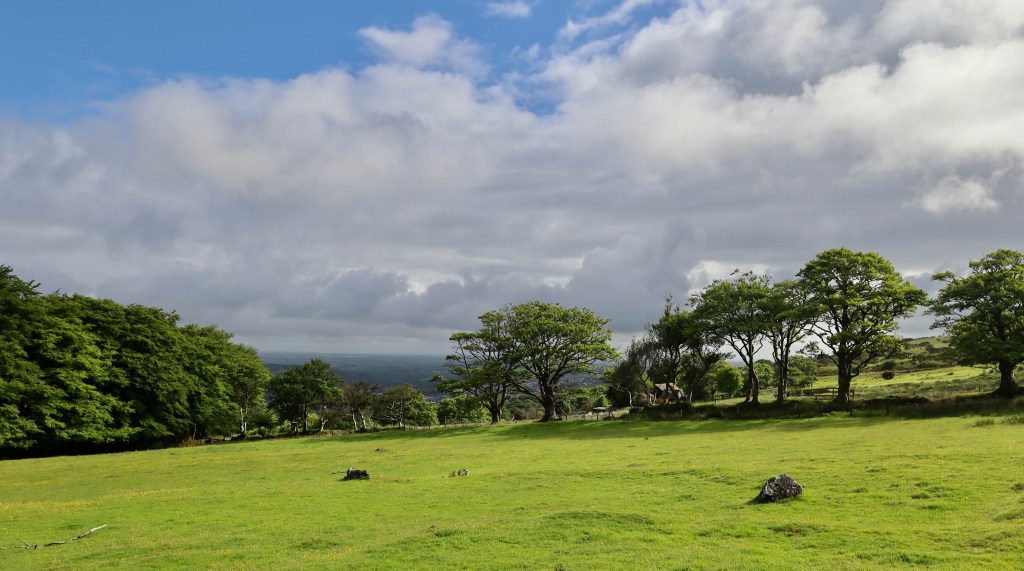
Nestled on sheep pasture between Okehampton Camp and the A30 there is no indication that this site exists until you walk onto it (unless of course you spot it on the OS map like I did) and as such, it can take anyone following the path by a pleasant surprise. The site itself is clear in its demarcations, with grass covered mounds marking the long-dilapidated walls that form the boundary of the settlement. Walking up what appears to my (very very) untrained eye to be a sort of corridor between two walls brings you up to an entrance to the farmsteads and homes that have now been overtaken by the bright yellow flashes of gorse bushes and the sheer black spots of corvids (I’m guessing rooks since they were in a flock but they took flight before I could really confirm this). Aside from the ongoing rumble of the A30, the site is deserted and quiet. Set on the slope of a hill and overlooking Okehampton Castle and the town from which the castle takes its name, there is a serenity in being here, imagining the work and lives of our long distant ancestors, accompanied by a circling buzzard (I’ll be honest it is slightly unnerving being watched by a buzzard like that) and a flock of gently grazing sheep.

There isn’t a lot of info about this and therefore visitors can use their imagination to fit people to the site. The site of Saxongate is noticeable as being on the edge of the ancient Deer Park, created by Sir Hugh de Courtenay. A bit of googling around this suggests that the settlement may well have been abandoned (or more realistically forced to close) in order to create the park, leaving the homesteads to fall to ruin and the previous cattle/sheep enclosures being given over to game. It is likely that the name predates the deer park, indicating that this site may well have been the gateway into Okehampton from the surrounding moors, but this is pure speculation from someone who really doesn’t know much (myself).
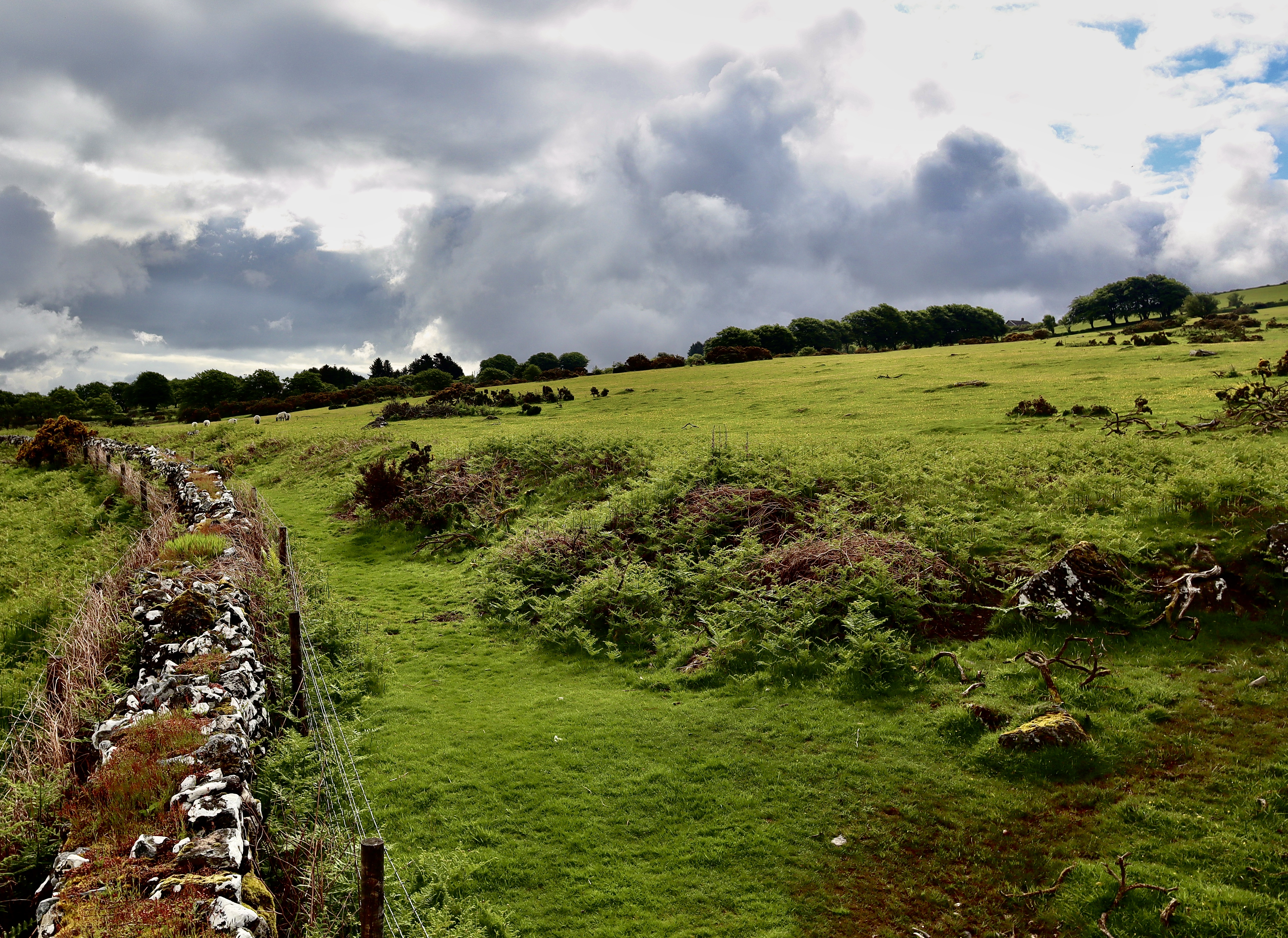
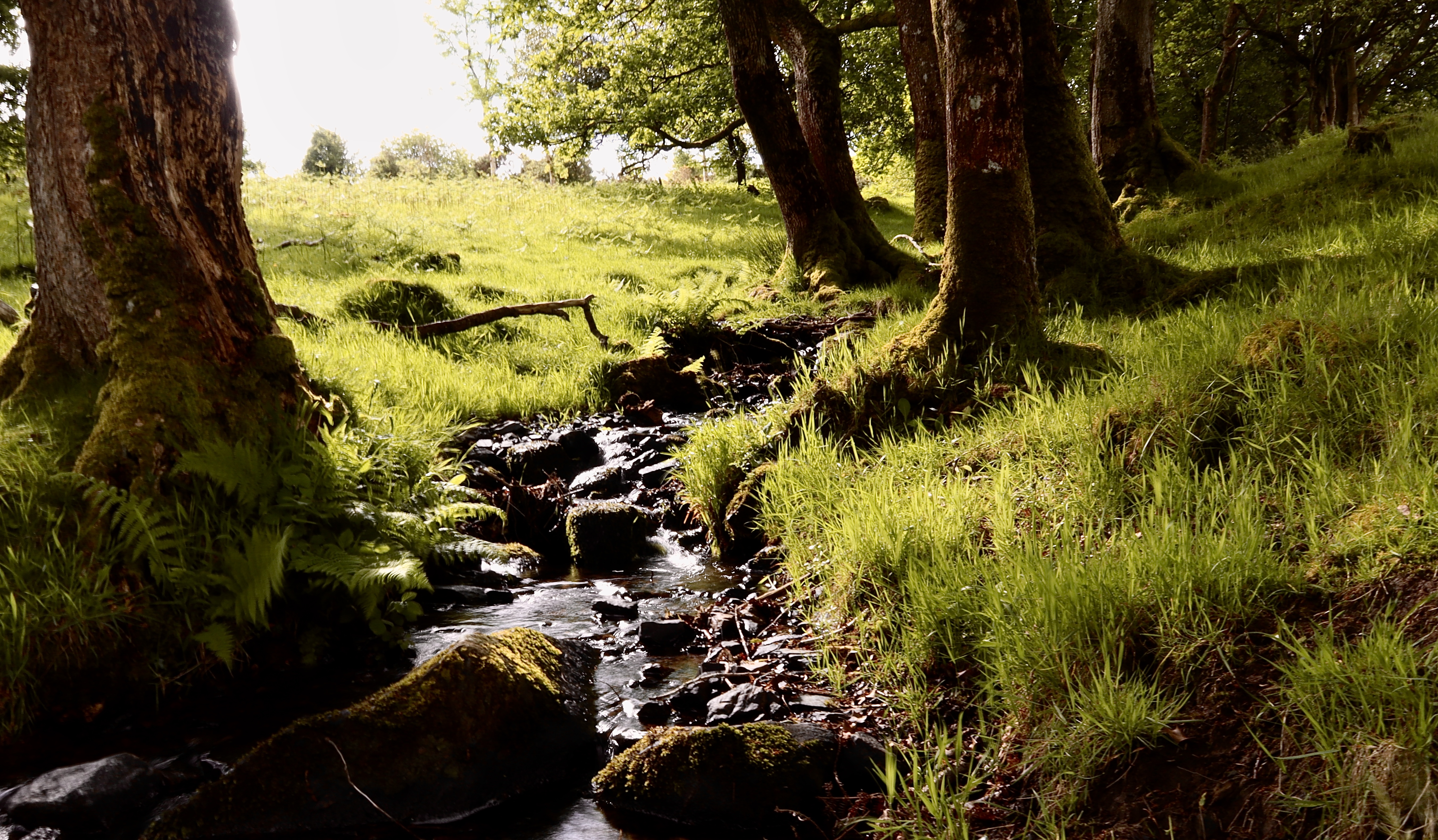
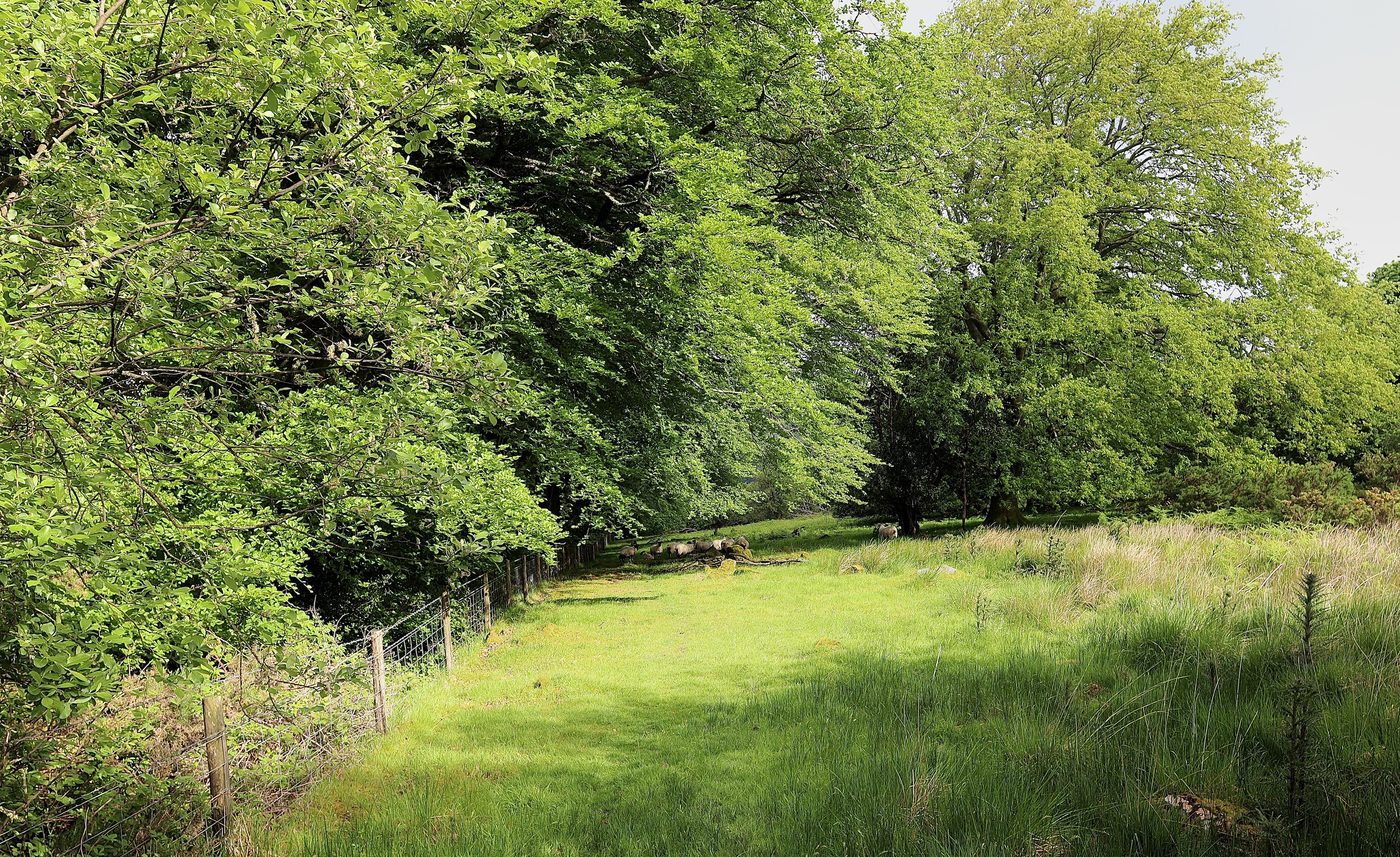
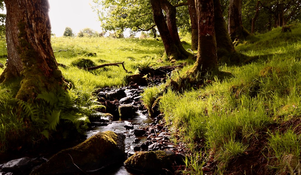
Returning to the path and leaving the site behind, carrying along the track brings you to a stile into some sheep fields. Keeping the treelined stone wall on the left, follow the hill down but be warned, this spot is muddy even during the dryest of weather and combined with the steepness of the slope, is a spot just waiting for someone to slip and slide down the hill. At the bottom of the hill, the track turns left over a little babbling brook and eventually leads you through a gate and onto the granite way. At this point, you begin to turn back on yourself and towards the direction you have come. Follow the granite way, alongside the wild garlic and brambles, all the way back to the station.
This walk may be simple, but it stimulates the imagination, takes in spectacular views and provides the physical and psychological wellbeing that hiking in the hills so readily provides.
| Difficulty | Distance | Navigation Required? |
| Easy | 5kms | No – easy paths to follow |
| Grid Reference | Safety | Footwear |
| Start and Finish SX 592 944 | Care on crossing rivers Uneven terrain Road crossings General Dartmoor Considerations | Trainers fine but beware it can be muddy and wet |


Leave a comment